Bilder
Videos

12038000 - Fisheries inspector
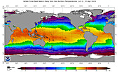
14180367 - Global coral reef heat stress anomalies 2023
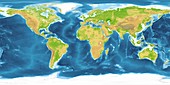
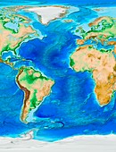
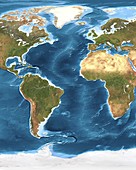
11555549 - Earth,topographic and bathymetric map
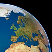
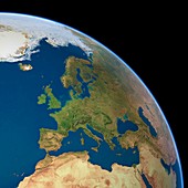
11555538 - Europe,satellite image

11555541 - North America,satellite image

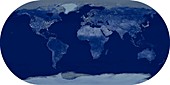
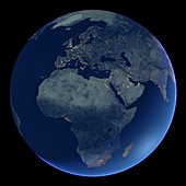
11555562 - Whole Earth at night,satellite image
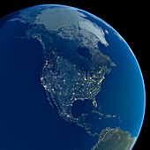
11555543 - North America at night,satellite image

11555534 - Europe,topographic map
11555449 - The Americas,satellite image
11555439 - East Asia,satellite image
11555397 - The Arctic,satellite image
11695355 - Hunt for the 'Alligator'
11575691 - World land and sea floor topography
11555560 - Whole Earth at night,satellite image
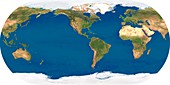
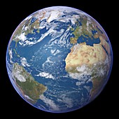
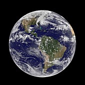
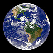
11555559 - Whole Earth,satellite image
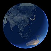
11555470 - East Asia at night,satellite image
11555425 - Atlantic Ocean,satellite image
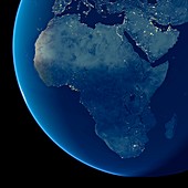
11555526 - Africa at night,satellite image
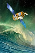
11615476 - Jason-2 satellite,artwork
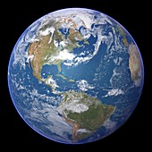
11555551 - Whole Earth,satellite image
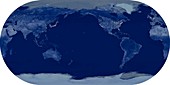
11555561 - Whole Earth at night,satellite image
11555453 - East Asia,satellite image
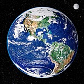
11550588 - Earth from space,satellite image
11695354 - Hunt for the 'Alligator'
11622034 - Atlantic Ocean topography,ETOPO1 model
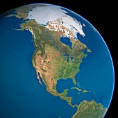
11555571 - North America,satellite image
11555566 - Europe,political map
11555528 - Asia,topographic map

11615479 - Jason-2 satellite,artwork
11600109 - 2011 tsunami travel times
11575687 - Indian Ocean sea floor topography
11555557 - Earth,topographic and bathymetric map
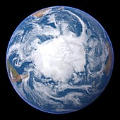
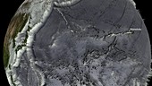
11555451 - Antarctica,satellite image
11735239 - Whole Earth map

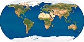
11575690 - World map,satellite image
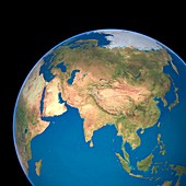
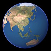
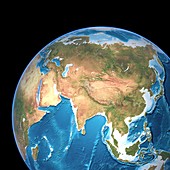
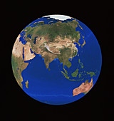
11555527 - Asia,satellite image
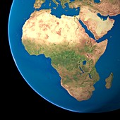
11555523 - Africa,satellite image
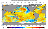
14180365 - Global coral reef heat stress monitoring 2023

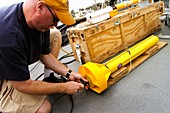
12018063 - Thruster on a Deep Sea Submarine
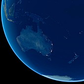
11555494 - Australia at night,satellite image
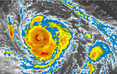
11637422 - Hurricane Sandy,29th October 2012
11615478 - Jason-2 satellite,artwork
11555537 - Europe at night,satellite image
11555414 - Europe,satellite image
11622031 - Indian Ocean topography,ETOPO1 model
11622027 - Global topography,ETOPO1 model
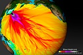
11613885 - Sea surface temperature simulation

11555554 - Whole Earth,satellite image
11555471 - Pacific Ocean at night,satellite image

11622033 - North-West Pacific,ETOPO1 model

11575688 - Pacific Ocean sea floor topography
11575683 - World weather,satellite image

11555529 - Asia at night,satellite image
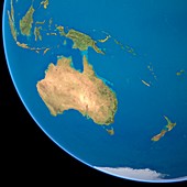
11555450 - Australia,satellite image
11555433 - Arabian Sea,satellite image
11555411 - North America,satellite image
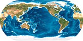
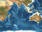
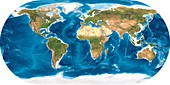
11575689 - World land cover and sea floor topography
11555552 - Earth,topographic and bathymetric map
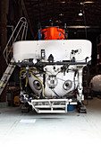
12018061 - Deep Sea Submarine

11647230 - Second World War shipwreck
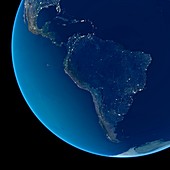
11555544 - South America at night,satellite image
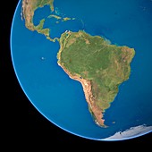
11555542 - South America,satellite image
11555447 - Pacific Ocean,satellite image
12018065 - Milk Crate Melted by Submarine Jet
11738481 - Satellite image of Indonesian forest fires

11622032 - European topography,ETOPO1 model

11622029 - Caribbean topography,ETOPO1 model

11555408 - Northern Asia and the Arctic
11622035 - North Atlantic topography,ETOPO1 model
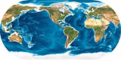
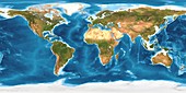
11575692 - World land topography
11555443 - Africa,satellite image
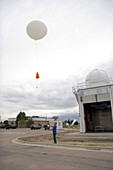
12004319 - Weather Balloon Launch
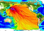
11600110 - 2011 tsunami height and travel times

11555565 - Whole Earth,political map
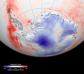
11739092 - Antarctic temperature trends,1982-2003
11735037 - Earth
11575686 - Atlantic Ocean sea floor topography
11637421 - Hurricane Sandy,28th October 2012
11555469 - Africa at night,satellite image

11575685 - North and South America,satellite image
11555545 - Australia at night,satellite image
11555532 - Australia,satellite image
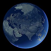
11555462 - Asia at night,satellite image
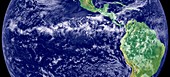
11550589 - Intertropical Convergence Zone
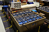
12018066 - Batteries in Deep Sea Submarine
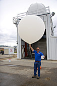
12004318 - Meteorologist with Weather Balloon
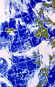
11735687 - False-colour IR weather map,Europe & N.Atlantic
11735034 - Earth
11600105 - North Pacific sea floor topography
11738088 - Earth and Hurricane Dean,20 August 2007
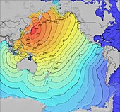
11600108 - 2011 tsunami wave heights
11555417 - The Americas,satellite image

12018062 - Robotic Arm on Deep Sea Submarine

11622037 - Pacific Ocean topography,ETOPO1 model
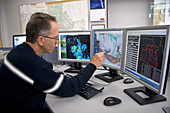
12004315 - Meteorologist Evaluating Weather Maps
11738086 - Hurricane Dean,infrared satellite image

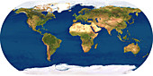
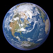
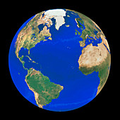
11735096 - Whole Earth (Blue Marble 2000)
11600111 - North-West Pacific topography
11600107 - Pacific Ocean bathymetry
nächste Seite
NOAA Bilder ❘ Science Photo Library