Europe,satellite image
Bildnummer 11555538
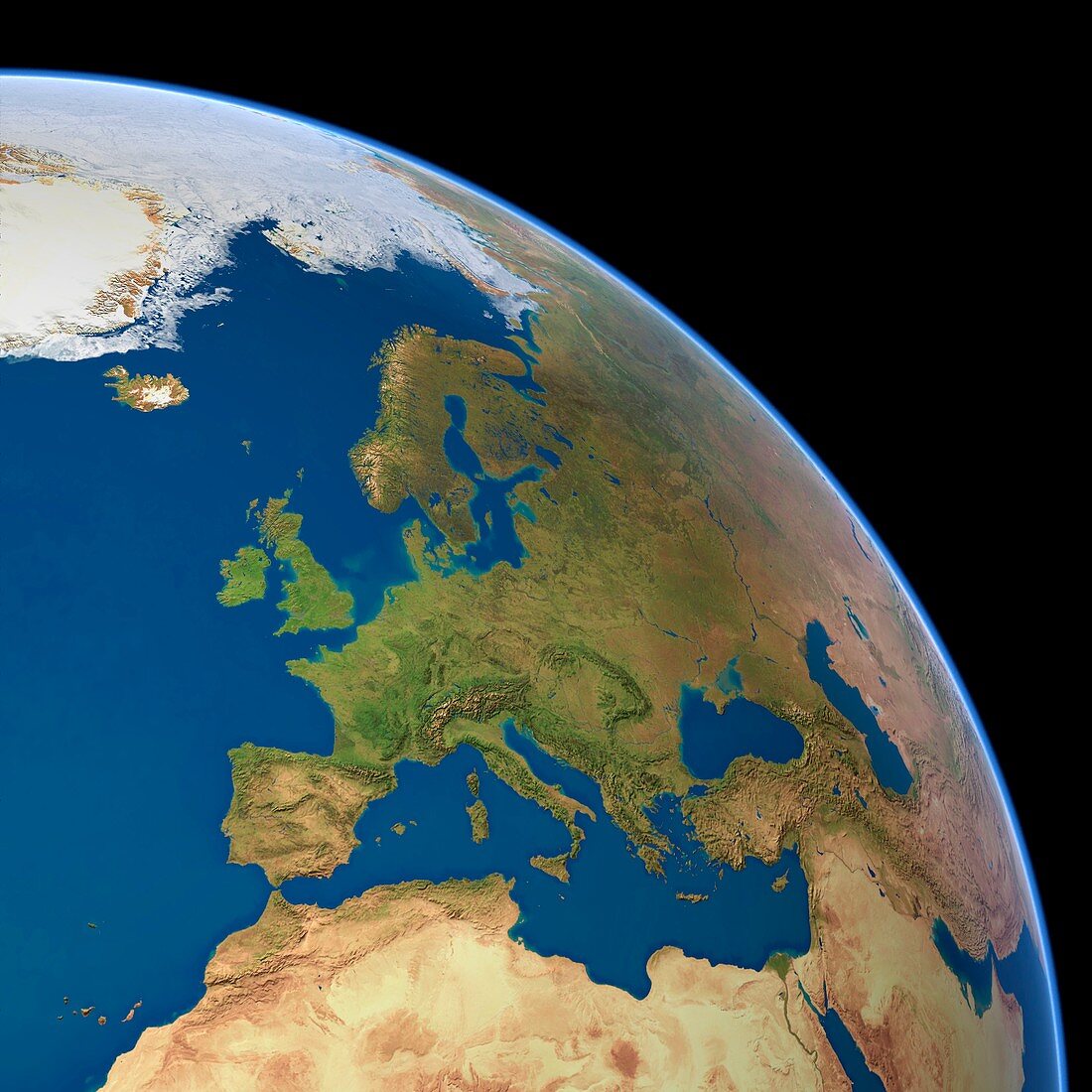
| Europe,satellite image. Arctic sea ice is white,oceans are blue and land is green and brown. The North Pole is seen at top,and North Africa at bottom. This image was produced by combining data from the Defense Meteorological Satellite Program (DMSP) and NOAA's POES and Nimbus 7 satellites | |
| Lizenzart: | Lizenzpflichtig |
| Credit: | Science Photo Library / Planetary Visions |
| Bildgröße: | 4193 px × 4193 px |
| Modell-Rechte: | nicht erforderlich |
| Eigentums-Rechte: | nicht erforderlich |
| Restrictions: | - |
Preise für dieses Bild ab 15 €
Universitäten & Organisationen
(Informationsmaterial Digital, Informationsmaterial Print, Lehrmaterial Digital etc.)
ab 15 €
Redaktionell
(Bücher, Bücher: Sach- und Fachliteratur, Digitale Medien (redaktionell) etc.)
ab 30 €
Werbung
(Anzeigen, Aussenwerbung, Digitale Medien, Fernsehwerbung, Karten, Werbemittel, Zeitschriften etc.)
ab 55 €
Handelsprodukte
(bedruckte Textilie, Kalender, Postkarte, Grußkarte, Verpackung etc.)
ab 75 €
Pauschalpreise
Rechtepakete für die unbeschränkte Bildnutzung in Print oder Online
ab 495 €
Keywords
- 21. Jahrhundert,
- Arktis,
- Atlantisch,
- DMSP,
- eisig,
- Erdbeobachtung,
- Erde,
- Erdkunde,
- Europa,
- geografisch,
- Geographie,
- Globus,
- kombinierte Daten,
- Kontinent,
- Kontinente,
- Land,
- Meer,
- Meereis,
- NOAA,
- Nordafrika,
- Nordamerika,
- Nordpol,
- Ozean,
- Ozeane,
- Planet,
- POES,
- polar,
- Raum,
- Region,
- Satellit,
- Satellitenbild,
- Schnee,
- Tageszeit,
- Tagsüber,
- topografisch,
- Topographie,
- topographisch,
- Vegetation,
- Welt,
- Weltall