Whole Earth,political map
Bildnummer 11555565
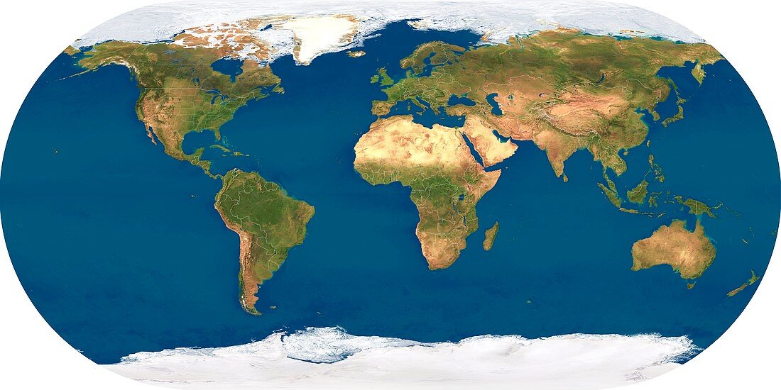
| Whole Earth,political map. This map is centred on the Greenwich meridian,at zero degrees latitude. Arctic and Antarctic ice is white,oceans are blue and land is green and brown. Political boundaries are outlined in white. This image was produced by combining data from the Defense Meteorological Satellite Program (DMSP) and NOAA's POES and Nimbus 7 satellites | |
| Lizenzart: | Lizenzpflichtig |
| Credit: | Science Photo Library / Planetary Visions |
| Bildgröße: | 5929 px × 2965 px |
| Modell-Rechte: | nicht erforderlich |
| Eigentums-Rechte: | nicht erforderlich |
| Restrictions: | - |
Preise für dieses Bild ab 15 €
Universitäten & Organisationen
(Informationsmaterial Digital, Informationsmaterial Print, Lehrmaterial Digital etc.)
ab 15 €
Redaktionell
(Bücher, Bücher: Sach- und Fachliteratur, Digitale Medien (redaktionell) etc.)
ab 30 €
Werbung
(Anzeigen, Aussenwerbung, Digitale Medien, Fernsehwerbung, Karten, Werbemittel, Zeitschriften etc.)
ab 55 €
Handelsprodukte
(bedruckte Textilie, Kalender, Postkarte, Grußkarte, Verpackung etc.)
ab 75 €
Pauschalpreise
Rechtepakete für die unbeschränkte Bildnutzung in Print oder Online
ab 495 €
Keywords
- 21. Jahrhundert,
- DMSP,
- Eckert iii Projektion,
- Erdbeobachtung,
- Erde,
- Erdkunde,
- ganze Erde,
- geografisch,
- Geographie,
- Globus,
- Grenzen,
- kombinierte Daten,
- Kontinent,
- Kontinente,
- Land,
- Länder,
- Meer,
- NOAA,
- Ozean,
- Ozeane,
- Planet,
- POES,
- Politik,
- Raum,
- Satellit,
- Satellitenbild,
- Tageszeit,
- Tagsüber,
- topografisch,
- Topographie,
- topographisch,
- Vegetation,
- Welt,
- Weltall,
- weltweit