Bilder
Videos
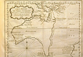
11735484 - Historical map of Australia from 1753 book
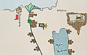
11735489 - Historical map of Egypt and Palestine
11735490 - Lighted candle on top of historical maps
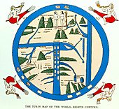
11735491 - Coloured 8th century Turin Map of the world
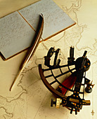
11879787 - Navigational sextant on a historical map
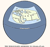
11735520 - Strabo's map from 18 AD

11735518 - Mappa Mundi by La Cosa in 1500

11735519 - Strabo's map from 18 AD

13673528 - Atomic bomb survivors
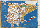
13632805 - Ptolemy's map of the Iberian Peninsula, 2nd century
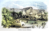
13634035 - Crystal Palace Sydenham, illustration
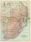
13613748 - Map of British South Africa
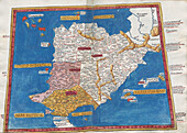
13632799 - Ptolemy's map of the Iberian Peninsula, 2nd century
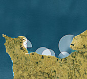
13618622 - German coastal batteries in France during WWII, illustration
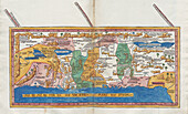
13634311 - Ptolemy's map of Palestine, 2nd century

13634281 - Ptolemy's map of Greece and the Aegean, 2nd century
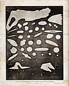
13950925 - William Herschel's organisation of heavenly bodies, illustration
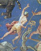
14077793 - Bootes constellation, 1575 illustration
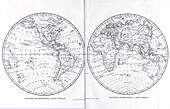
13634146 - Eastern and western hemispheres, illustration
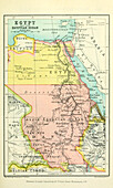
13613951 - Map of Egypt and the Egyptian Sudan
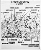
13619811 - Map showing locations of Nazi concentration camps
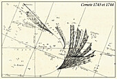
13647509 - Great Comet of 1744, illustration
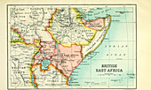
13613953 - Map of British East Africa
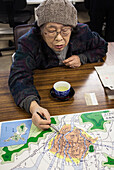
13673525 - Atomic bomb survivor
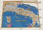
13633923 - Ptolemy's map of Italy, 2nd century
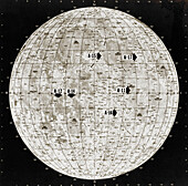
13613666 - Chart showing Apollo landing sites
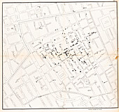
13736264 - John Snow's cholera map, 1854
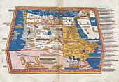
13634313 - Ptolemy's map of Africa, 2nd century
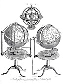
13634145 - Geography globes and spheres, illustration
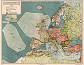
13952151 - Sinkings by German U-boats, 1917
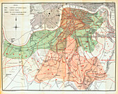
13736265 - John Snow's map of the water supply in London, 1854
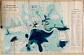
13736188 - London cholera map, 1849
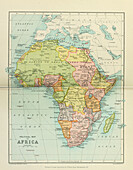
13613955 - 20th century political map of Africa
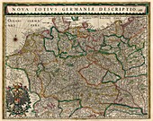
13503313 - Map of Germany, 17th century

13756416 - Alfred Russel Wallace's route around the Malay Archipelago, 19th century map
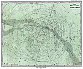
13452570 - Northern Sky map, 1872
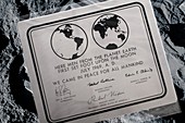
13296468 - Apollo 11 Moon plaque
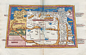
13634312 - Ptolemy's map of North East Africa, 2nd century
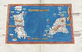
13633930 - Ptolemy's map of Sicily and Sardinia, 2nd century
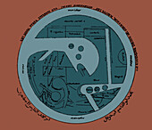
13502120 - Arab World Map

13435518 - Behaim globe, 19th century illustration
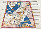
13634280 - Ptolemy's map of Carpiani, 2nd century
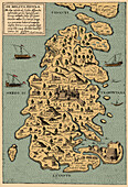
13502211 - Giovanni Francesco Camocio, map of Malta

12948231 - Greater Adria lost continent, 140 million years ago

13502434 - Horoscope types, Engel, 1488
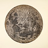
12991790 - Cassini's Moon map, 1679
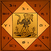
13502435 - Horoscope types, Engel, 1488

13406158 - Map of Northwest Africa, 1590

14077792 - Constellations of the southern sky, 1890 illustration
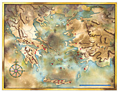
13472062 - Map of the ancient Greek world, illustration
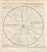
13297813 - Comet map, 1740
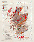
13297711 - Murchison's New Geological Map of Scotland, 1861
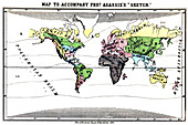
14077838 - Polygenism, 1857 illustration
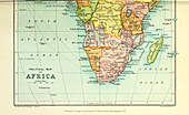
13613956 - 20th century political map of Africa
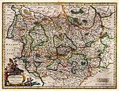
13503315 - Map of Magdeburg and Anhalt, Germany, 17th century
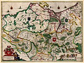
13503314 - Map of Marquisate of Brandenburg, Germany, 17th century

13444541 - Battle of Bailen, 19th century illustration
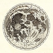
13296505 - Hevelius's Moon map, 1647
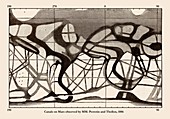
13258474 - Observations of Mars, 1886

12991201 - Map of Paris, illustration
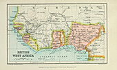
13613947 - Map of British West Africa

13503312 - Map of Prussia, 17th century
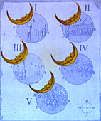
13502464 - Phases of an eclipse
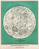
13296491 - Moon Map, 1881
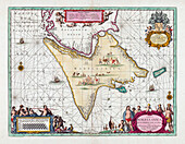
13585482 - Map of Tierra del Fuego, 17th century illustration

13258439 - Observations of Mars in 1901 and 1909, illustrations
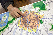
13673526 - Atomic bomb survivor

13620405 - Evelyn's plan for rebuilding London after 1666 Great Fire
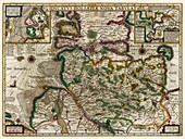
13503317 - Map of the Duchy of Holstein, 17th century
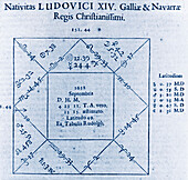
13502362 - Horoscope chart for Louis XIV, 1662
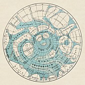
12655909 - Southern Mars map by Schiaparelli 1908

12654315 - Map of America, 1791

12653051 - Constantinople, 1493

12651560 - Joan Blaeu, Arctic Map, North Pole, 17th Century

12651131 - Cantino World Map, 1502
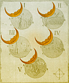
13502463 - Phases of an eclipse
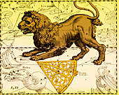
13502456 - Leo Constellation, Zodiac Sign, Hevelius
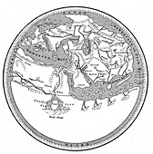
13435559 - World map by Mohammed al-Idrisi, 1154

12948010 - Continents during the Cambrian, illustration
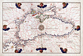
12651119 - Battista Agnese, Portolan Atlas, Black Sea, 1544
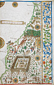
14077729 - Eastern coast of South America, 16th century illustration
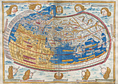
13632800 - Ptolemy's map of the World, 2nd century
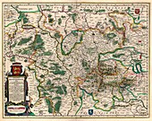
13503316 - Map of Duchy of Brunswick, Germany, 17th century
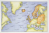
13503065 - Map of Viking scope of influence

13258440 - Observations of Mars in 1901 and 1909, illustrations

12948767 - Artemidorus papyrus

12916365 - Diagram of the Earth during the Carboniferous period, 1922

12902144 - Map of London, 1560

12901221 - Proposed canals and docks, London, 1800
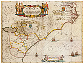
12651930 - Joan Blaeu, Virginia and Florida Coast Map, 17th Century
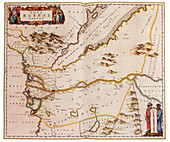
12651913 - Joan Blaeu, Egypt Map, 17th Century
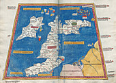
13632798 - Ptolemy's map of Britain, 16th century
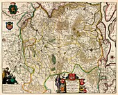
13503320 - Map of Marquisate and Third District of Brabant
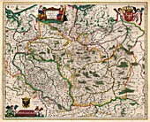
13503311 - Map of Poland and Duchy of Silesia, 17th century
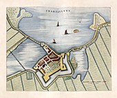
12960004 - Fort Swartesluys,17th century

12949696 - Southern constellations, 18th century
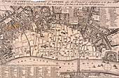
12902138 - Map of London

12654319 - Battle of Guilford Court House, 1781
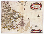
12651922 - Joan Blaeu, Gulf of Saint Lawrence Map, 17th Century
nächste Seite
Historische Karte Bilder ❘ Science Photo Library


