Bilder
Videos
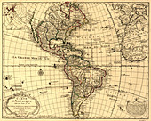
12648538 - Guillaume Delisle, The Americas Map, 1780

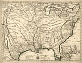
12648537 - Guillaume Delisle, North America Map, 1760s
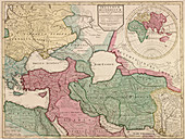
12648539 - Guillaume Delisle, Eastern Roman Empire Map, 400 AD
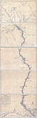
12648540 - Guillaume Delisle, Mississippi River Map, 1702
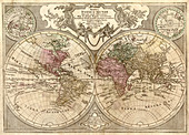
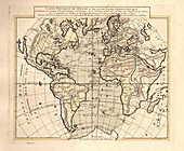
12648535 - Guillaume Delisle, World Map, 1775
11727740 - Map of the Atlantic Ocean,1757
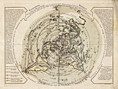
11727753 - World map centred on North Pole,1756
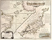
11727752 - Map of Fernando de Noronha,1757
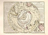
11727743 - Map of Antarctica,1757
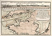
11947232 - Map of French Louisiana,1718
11727751 - Map of the English Channel,1757
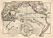
11727742 - Map of the Pacific Ocean,1757
11727741 - Map of the Indian Ocean,1757
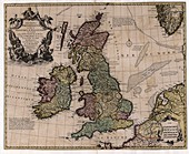
11947239 - Map of the British Isles,18th century
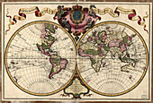
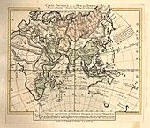
11751701 - Map of the world,1720
Guillaume Delisle Bilder ❘ Science Photo Library