Map of the Indian Ocean,1757
Bildnummer 11727741
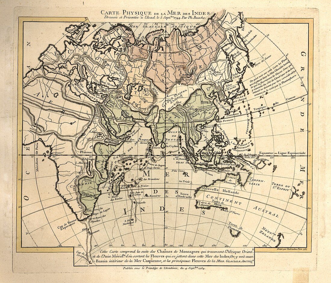
| Map of the Indian Ocean. 18th-century map showing the Indian Ocean and the drainage basins (green) that flow into this ocean. The Eurasian drainage basins (red) for the Arctic Ocean are also shown. The labels and inscription are in French. This map is from 'Cartes et tables de la geographie physique ou naturelle' (1757) by French geographers and cartographers Philippe Buache (1700-1773) and Guillaume de l'Isle (1675-1726) | |
| Lizenzart: | Lizenzpflichtig |
| Credit: | Science Photo Library / LIBRARY OF CONGRESS, Geography and Map Division |
| Bildgröße: | 4670 px × 3992 px |
| Modell-Rechte: | nicht erforderlich |
| Eigentums-Rechte: | nicht erforderlich |
| Restrictions: | - |
Preise für dieses Bild ab 15 €
Universitäten & Organisationen
(Informationsmaterial Digital, Informationsmaterial Print, Lehrmaterial Digital etc.)
ab 15 €
Redaktionell
(Bücher, Bücher: Sach- und Fachliteratur, Digitale Medien (redaktionell) etc.)
ab 30 €
Werbung
(Anzeigen, Aussenwerbung, Digitale Medien, Fernsehwerbung, Karten, Werbemittel, Zeitschriften etc.)
ab 55 €
Handelsprodukte
(bedruckte Textilie, Kalender, Postkarte, Grußkarte, Verpackung etc.)
ab 75 €
Pauschalpreise
Rechtepakete für die unbeschränkte Bildnutzung in Print oder Online
ab 495 €
Keywords
- 1700er Jahre,
- 18. Jahrhundert,
- Arktischer Ozean,
- beschriftet,
- Etikette,
- Etiketten,
- Französisch,
- Französisch Sprache,
- geografisch,
- Geographie,
- Geschichte,
- Guillaume Delisle,
- historisch,
- Hydrologie,
- Illustration,
- Indischer Ozean,
- Karte,
- Kartographie,
- Kunstwerk,
- Meereskunde,
- Niemand,
- Ozean,
- philippe Buache,
- Text