Jason-3 satellite,artwork
Bildnummer 11691654
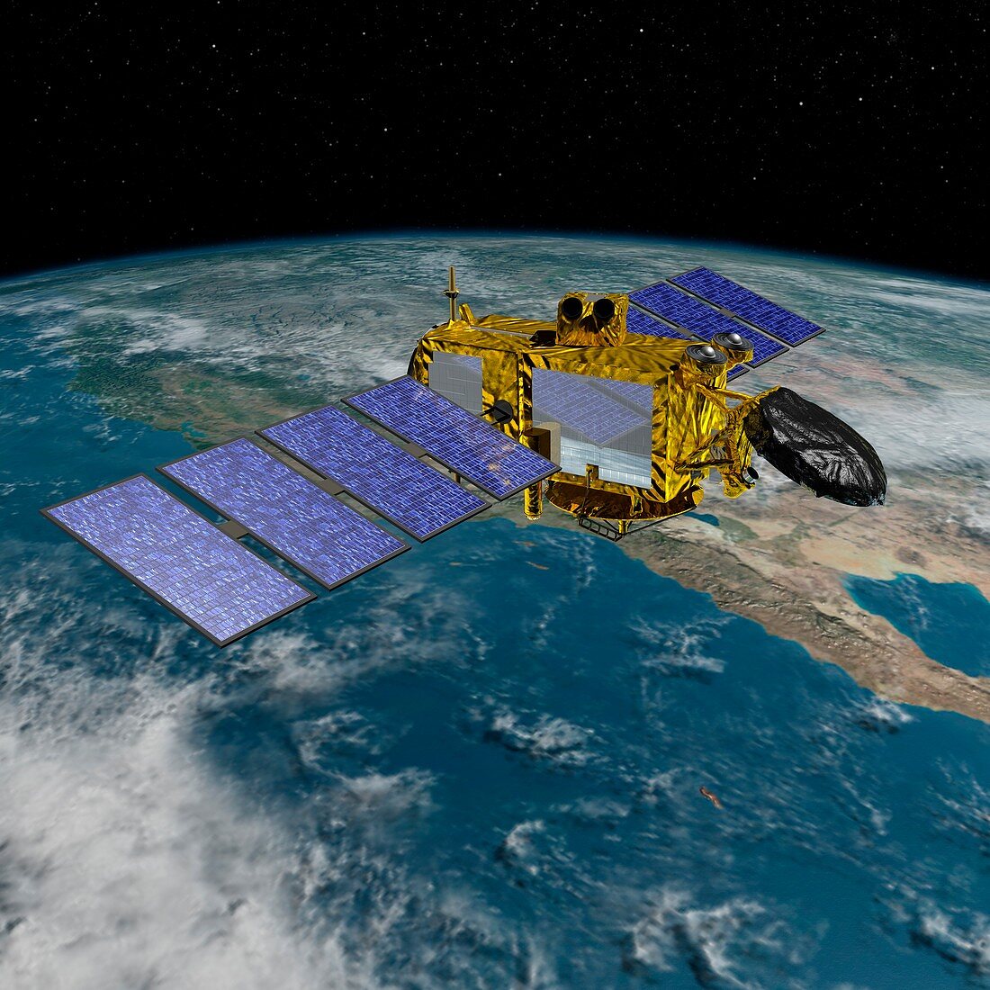
| Jason-3 satellite. Computer artwork of the Jason-3 Ocean Surface Topography Mission (OSTM) satellite in Earth orbit. OSTM is an international Earth observation satellite mission that uses an array of instruments to map ocean surface topography to a high degree of accuracy. This allows global monitoring of tides,ocean currents and oscillations,ocean circulation,and climate change-induced rises in sea levels. Jason-3,scheduled for launch in 2015,will be the fourth spacecraft to be part of the OSTM,which was begun in 1992 by the joint NASA/CNES TOPEX/Poseidon mission and followed by the NASA/CNES Jason-1 (2001) and Jason-2 (2008) missions | |
| Lizenzart: | Lizenzpflichtig |
| Credit: | Science Photo Library / NASA |
| Bildgröße: | 5291 px × 5291 px |
| Modell-Rechte: | nicht erforderlich |
| Eigentums-Rechte: | nicht erforderlich |
| Restrictions: | - |
Preise für dieses Bild ab 15 €
Universitäten & Organisationen
(Informationsmaterial Digital, Informationsmaterial Print, Lehrmaterial Digital etc.)
ab 15 €
Redaktionell
(Bücher, Bücher: Sach- und Fachliteratur, Digitale Medien (redaktionell) etc.)
ab 30 €
Werbung
(Anzeigen, Aussenwerbung, Digitale Medien, Fernsehwerbung, Karten, Werbemittel, Zeitschriften etc.)
ab 55 €
Handelsprodukte
(bedruckte Textilie, Kalender, Postkarte, Grußkarte, Verpackung etc.)
ab 75 €
Pauschalpreise
Rechtepakete für die unbeschränkte Bildnutzung in Print oder Online
ab 495 €
Keywords
- 2015,
- 21. Jahrhundert,
- Amerikanisch,
- Ausrüstung,
- Ebenen,
- Energie,
- Erdbeobachtung,
- Erforschung,
- Erkundung,
- Experiment,
- Globale Erwärmung,
- Illustration,
- jason-3,
- Klima,
- Klimatologie,
- klimatologisch,
- Klimawandel,
- Kunstwerk,
- Leistung,
- Maschine,
- Meteorologie,
- meteorologisch,
- Mission,
- NASA,
- OSTM,
- Paneele,
- Planet,
- Planetenwissenschaft,
- Projekt,
- Raum,
- Raumfahrttechnik,
- Raumfahrzeug,
- Raumschiff,
- Sonnenkollektor,
- Sonnensystem,
- Technologie,
- technologisch,
- topografisch,
- topographisch,
- umkreisend,
- uns,
- Weltraumflug,
- Wetter