British Isles,satellite image
Bildnummer 11570980
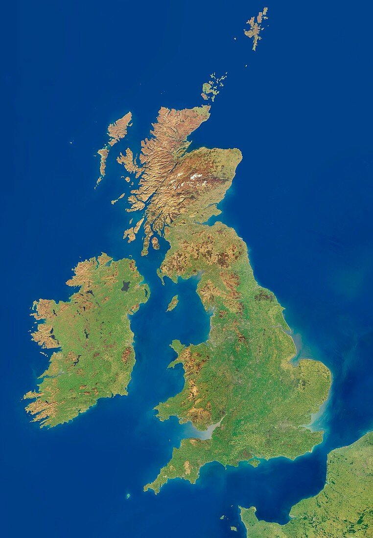
| British Isles,satellite image. North is at top. This mosaic of cloud-free satellite images shows the British Isles,including the Orkney,Shetland and the Channel Islands as well as the UK and Ireland. The data used in this image has been obtained by the MODIS instrument on NASA's Terra satellite | |
| Lizenzart: | Lizenzpflichtig |
| Credit: | Science Photo Library / DLR / PLANETARY VISIONS LTD |
| Bildgröße: | 3600 px × 5200 px |
| Modell-Rechte: | nicht erforderlich |
| Eigentums-Rechte: | nicht erforderlich |
| Restrictions: | - |
Preise für dieses Bild ab 15 €
Universitäten & Organisationen
(Informationsmaterial Digital, Informationsmaterial Print, Lehrmaterial Digital etc.)
ab 15 €
Redaktionell
(Bücher, Bücher: Sach- und Fachliteratur, Digitale Medien (redaktionell) etc.)
ab 30 €
Werbung
(Anzeigen, Aussenwerbung, Digitale Medien, Fernsehwerbung, Karten, Werbemittel, Zeitschriften etc.)
ab 55 €
Handelsprodukte
(bedruckte Textilie, Kalender, Postkarte, Grußkarte, Verpackung etc.)
ab 75 €
Pauschalpreise
Rechtepakete für die unbeschränkte Bildnutzung in Print oder Online
ab 495 €
Keywords
- Atlantischer Ozean,
- Berg,
- Berge,
- Britische Inseln,
- England,
- Englisch,
- Erdbeobachtung,
- Europa,
- europäisch,
- geografisch,
- Geographie,
- Großbritannien,
- Insel,
- Inseln,
- Irisch,
- Irland,
- Küste,
- Küsten,
- Küsten-,
- Küstenlinie,
- Land,
- Meer,
- modis,
- Nation,
- Natur,
- Natürliche Farbe,
- Satellit,
- Satellitenbild,
- schottisch,
- Schottland,
- Staat,
- Terra,
- Vegetation,
- Vereinigtes Königreich,
- Wales,
- Walisisch,
- Wasser,
- Weltall,
- wolkenfrei,
- wolkenlos