Aerocartograph trials
Bildnummer 14112897
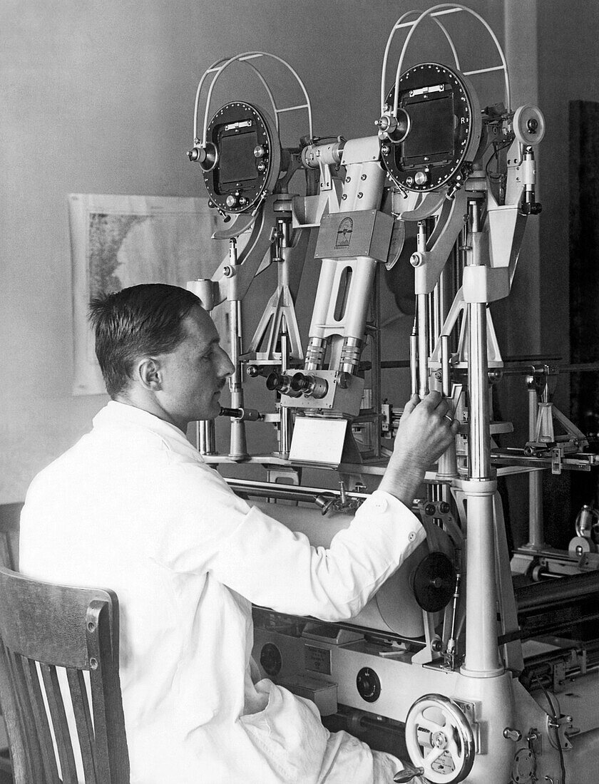
| Heinz Gruner of the U.S. Geological Survey doing experimental trials of an aerocartograph to do topographic mapping with aerial images. Washington, D.C.: October 13, 1927. | |
| Lizenzart: | Lizenzpflichtig |
| Credit: | Science Photo Library |
| Bildgröße: | 3894 px × 5100 px |
| Modell-Rechte: | Derzeit liegt noch kein Release vor. Bitte kontaktieren Sie uns vor Verwendung. |
| Eigentums-Rechte: | nicht erforderlich |
| Restrictions: |
|
Preise für dieses Bild ab 15 €
Universitäten & Organisationen
(Informationsmaterial Digital, Informationsmaterial Print, Lehrmaterial Digital etc.)
ab 15 €
Redaktionell
(Bücher, Bücher: Sach- und Fachliteratur, Digitale Medien (redaktionell) etc.)
ab 30 €
Werbung
(Anzeigen, Aussenwerbung, Digitale Medien, Fernsehwerbung, Karten, Werbemittel, Zeitschriften etc.)
ab 55 €
Handelsprodukte
(bedruckte Textilie, Kalender, Postkarte, Grußkarte, Verpackung etc.)
ab 75 €
Pauschalpreise
Rechtepakete für die unbeschränkte Bildnutzung in Print oder Online
ab 495 €
Keywords
- 1 Person,
- 1920er Jahre,
- analysierend,
- Arbeit,
- Arbeiten,
- Automobil,
- Begutachten,
- Bildung,
- eine Person,
- Entdeckung,
- Erwachsene,
- experimentieren,
- experimentierend,
- Fabrik,
- Fabriken,
- Fähigkeit,
- Forschung,
- Geschichte,
- historisch,
- Industrie,
- Ingenieur,
- Kartographie,
- Mann,
- Männlich,
- Maschine,
- Maschinen,
- mittleres Alter,
- Rad,
- schauend,
- Sitzung,
- Studie,
- Stuhl,
- Technologie,
- Transport,
- USA,
- usgs,
- Vereinigte Staaten,
- Washington