Belgian Congo, 1896 map
Bildnummer 13258666
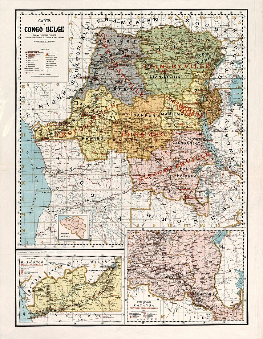
| Map of the Belgian Congo published in 1896. At the time this map was published the area was not a colony, but a corporate state privately controlled by Leopold II, King of Belgium, and known as the Congo Free State. When the extent of the exploitation and human suffering in the Congo Free State was exposed, Leopold was forced to give up the state and it was annexed as a Belgian colony in 1908. The country gained independence in 1960 and became the Democratic Republic of the Congo in 1964. | |
| Lizenzart: | Lizenzpflichtig |
| Credit: | Science Photo Library / Library of Congress |
| Bildgröße: | 5209 px × 6711 px |
| Modell-Rechte: | nicht erforderlich |
| Eigentums-Rechte: | nicht erforderlich |
| Restrictions: | - |
Preise für dieses Bild ab 15 €
Universitäten & Organisationen
(Informationsmaterial Digital, Informationsmaterial Print, Lehrmaterial Digital etc.)
ab 15 €
Redaktionell
(Bücher, Bücher: Sach- und Fachliteratur, Digitale Medien (redaktionell) etc.)
ab 30 €
Werbung
(Anzeigen, Aussenwerbung, Digitale Medien, Fernsehwerbung, Karten, Werbemittel, Zeitschriften etc.)
ab 55 €
Handelsprodukte
(bedruckte Textilie, Kalender, Postkarte, Grußkarte, Verpackung etc.)
ab 75 €
Pauschalpreise
Rechtepakete für die unbeschränkte Bildnutzung in Print oder Online
ab 495 €