Marker for area flooded during Hurricane Katrina
Bildnummer 12917935
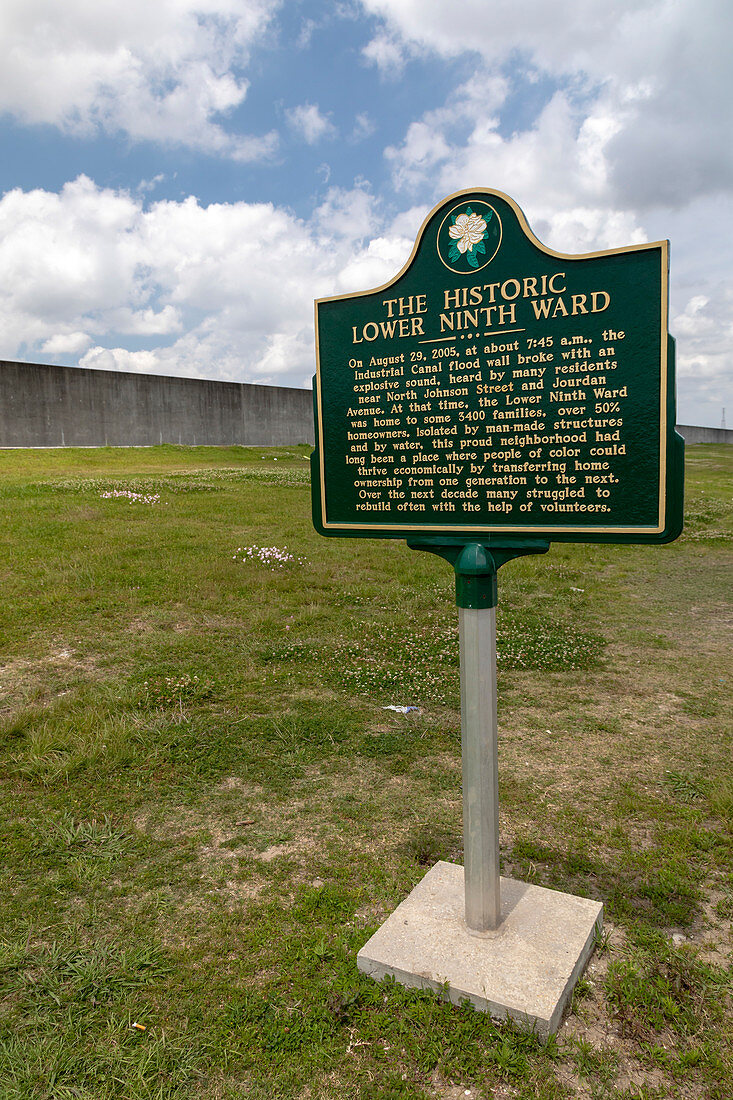
| Marker for area flooded during Hurricane Katrina. Hurricane Katrina devastated the Gulf coast of the USA in August 2005. In New Orleans, Louisiana, the Industrial Canal flood wall (built by the US Army Corps of Engineers) failed in the early morning of 29 August 2005, leading to catastrophic flooding of the lower ninth ward of the city. The flooding killed hundreds, destroyed homes and trees, and led to changes in guidelines for flood wall construction. See also image C045/8999. Photographed on 21 April 2018. | |
| Lizenzart: | Lizenzpflichtig |
| Credit: | Science Photo Library / West, Jim |
| Bildgröße: | 4204 px × 6307 px |
| Modell-Rechte: | nicht erforderlich |
| Eigentums-Rechte: | nicht erforderlich |
| Restrictions: | - |
Preise für dieses Bild ab 15 €
Universitäten & Organisationen
(Informationsmaterial Digital, Informationsmaterial Print, Lehrmaterial Digital etc.)
ab 15 €
Redaktionell
(Bücher, Bücher: Sach- und Fachliteratur, Digitale Medien (redaktionell) etc.)
ab 30 €
Werbung
(Anzeigen, Aussenwerbung, Digitale Medien, Fernsehwerbung, Karten, Werbemittel, Zeitschriften etc.)
ab 55 €
Handelsprodukte
(bedruckte Textilie, Kalender, Postkarte, Grußkarte, Verpackung etc.)
ab 75 €
Pauschalpreise
Rechtepakete für die unbeschränkte Bildnutzung in Print oder Online
ab 495 €
Keywords
- 2018,
- 21. Jahrhundert,
- Afroamerikaner,
- Amerika,
- Amerikanisch,
- Flut,
- geografisch,
- Geschichte,
- Historisch,
- Hurrikan,
- Ingenieurwesen,
- Katastrophe,
- Louisiana,
- Marker,
- menschliche Geografie,
- Naturkatastrophe,
- New Orleans,
- Niemand,
- Nordamerika,
- nordamerikanisch,
- Schild,
- Text,
- tiefer Süden,
- überflutet,
- Umwelt,
- uns,
- USA,
- Vereinigte Staaten