Navigation equipment
Bildnummer 11897129
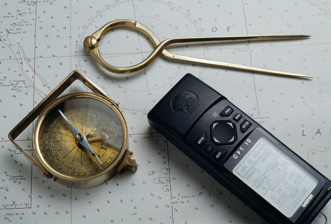
| Navigation equipment. Global positioning system (GPS) receiver (lower right),compass (lower left) and dividers (top) on a map. The GPS receiver uses signals from the GPS satellites to calculate local latitude and longitude and height above sea level. When travelling,the changing position can be used to indicate the direction and distance of travel. Before GPS technology was available,a compass was used to find North. The magnetized compass needle swings freely to point north-south at the northern magnetic pole. The end of the needle marked in red is the north-pointing end. The set of dividers is adjusted to span the distance between two points on the map,allowing calculations of distances | |
| Lizenzart: | Lizenzpflichtig |
| Credit: | Science Photo Library / Percival, Steve |
| Bildgröße: | 5140 px × 3486 px |
| Modell-Rechte: | nicht erforderlich |
| Eigentums-Rechte: | nicht erforderlich |
| Restrictions: | - |
Preise für dieses Bild ab 15 €
Universitäten & Organisationen
(Informationsmaterial Digital, Informationsmaterial Print, Lehrmaterial Digital etc.)
ab 15 €
Redaktionell
(Bücher, Bücher: Sach- und Fachliteratur, Digitale Medien (redaktionell) etc.)
ab 30 €
Werbung
(Anzeigen, Aussenwerbung, Digitale Medien, Fernsehwerbung, Karten, Werbemittel, Zeitschriften etc.)
ab 55 €
Handelsprodukte
(bedruckte Textilie, Kalender, Postkarte, Grußkarte, Verpackung etc.)
ab 75 €
Pauschalpreise
Rechtepakete für die unbeschränkte Bildnutzung in Print oder Online
ab 495 €