Nasca lines
Bildnummer 11750614
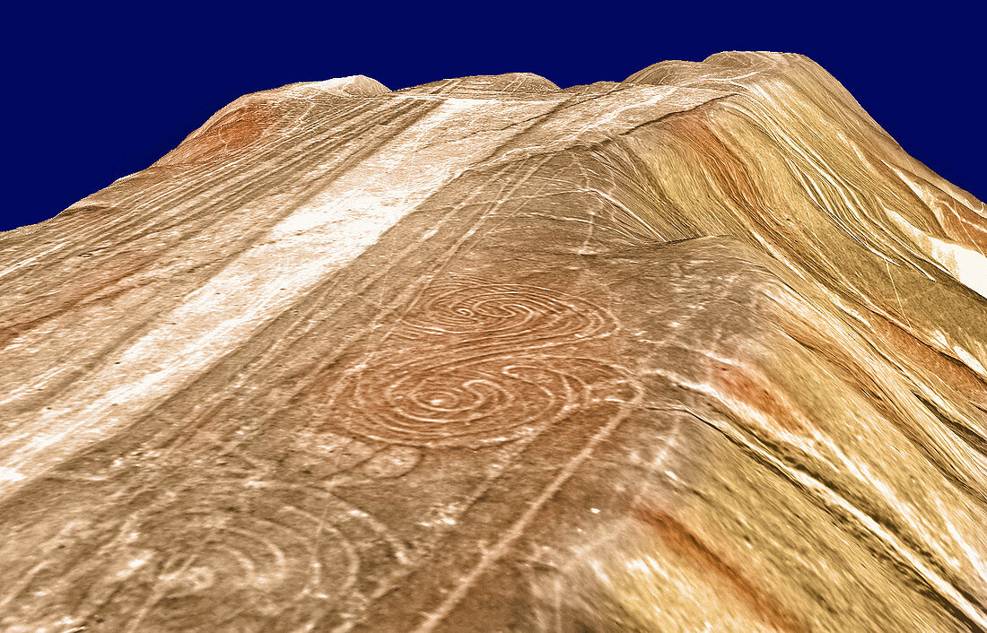
| Nasca lines. Three-dimensional computer represent- ation of some of the ancient lines carved in the desert at Nasca in southern coastal Peru. This is the first major survey of these geoglyphs,thought to have been created around 2000 years ago. The lines take a variety of forms,and it is not known why they were made,or what some of them represent. Theories suggest that they formed an astronomical calendar,were an aid to irrigation and agriculture,had ceremonial and religious uses or even that they were a landing area for space- craft. Aerial photographs supplied the data. This work has been done by researchers at the Federal Institute of Technology,Zurich,Switzerland | |
| Lizenzart: | Lizenzpflichtig |
| Credit: | Science Photo Library / Grun, Armin |
| Bildgröße: | 3500 px × 2247 px |
| Modell-Rechte: | nicht erforderlich |
| Eigentums-Rechte: | nicht erforderlich |
| Restrictions: | - |
Preise für dieses Bild ab 15 €
Universitäten & Organisationen
(Informationsmaterial Digital, Informationsmaterial Print, Lehrmaterial Digital etc.)
ab 15 €
Redaktionell
(Bücher, Bücher: Sach- und Fachliteratur, Digitale Medien (redaktionell) etc.)
ab 30 €
Werbung
(Anzeigen, Aussenwerbung, Digitale Medien, Fernsehwerbung, Karten, Werbemittel, Zeitschriften etc.)
ab 55 €
Handelsprodukte
(bedruckte Textilie, Kalender, Postkarte, Grußkarte, Verpackung etc.)
ab 75 €
Pauschalpreise
Rechtepakete für die unbeschränkte Bildnutzung in Print oder Online
ab 495 €