Lightning strike map,Italy
Bildnummer 11738750
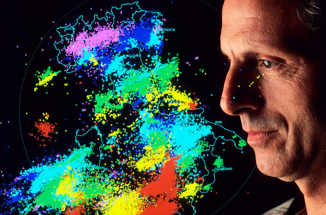
| Lightning strike map. The lightning strikes (coloured dots) are plotted on a map of Italy. Lightning can be detected from many kilometres away by the radio waves it produces. These lightning strikes were recorded by 16 IMPACT (Improved Performance from Combined Technology) detectors,using a combination of radio antennas and GPS (Global Positioning System) technology to triangulate the location of each strike. The detectors are part of the SIRF (Sistema Italiano Rilevamento Fulmini) lightning detection network,formed in 1994 and operated by CESI (the Italian Experimental Electrotechnical Centre),based in Milan,Italy | |
| Lizenzart: | Lizenzpflichtig |
| Credit: | Science Photo Library / Brega, Massimo / EURELIOS |
| Bildgröße: | 3640 px × 2405 px |
| Modell-Rechte: | Derzeit liegt noch kein Release vor. Bitte kontaktieren Sie uns vor Verwendung. |
| Eigentums-Rechte: | nicht erforderlich |
| Restrictions: |
|
Preise für dieses Bild ab 15 €
Universitäten & Organisationen
(Informationsmaterial Digital, Informationsmaterial Print, Lehrmaterial Digital etc.)
ab 15 €
Redaktionell
(Bücher, Bücher: Sach- und Fachliteratur, Digitale Medien (redaktionell) etc.)
ab 30 €
Werbung
(Anzeigen, Aussenwerbung, Digitale Medien, Fernsehwerbung, Karten, Werbemittel, Zeitschriften etc.)
ab 55 €
Handelsprodukte
(bedruckte Textilie, Kalender, Postkarte, Grußkarte, Verpackung etc.)
ab 75 €
Pauschalpreise
Rechtepakete für die unbeschränkte Bildnutzung in Print oder Online
ab 495 €
Keywords
- 40er Jahre,
- Atmosphäre,
- cesi,
- Erwachsene,
- Europa,
- europäisch,
- Forscher,
- Forschung,
- Geowissenschaften,
- Italien,
- Italienisch,
- Karte,
- kaukasisch,
- Klima,
- Labor,
- Mailand,
- Mann,
- Männlich,
- mehrere,
- Mensch,
- Menschen,
- Meteorologie,
- meteorologisch,
- mittleren Alters,
- Person,
- Physiker,
- viele,
- Vierziger Jahre,
- weiß,
- Wetter,
- Wissenschaftler