Weather forecasting
Bildnummer 11738660
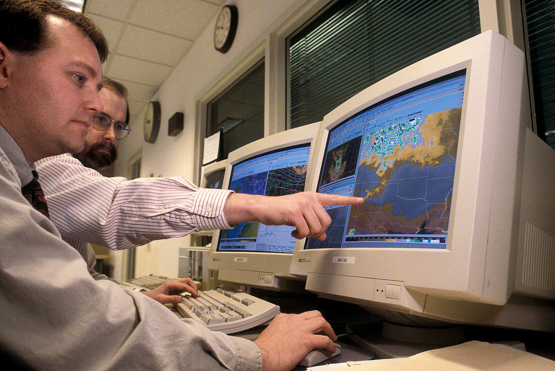
| Weather forecasting. Meteorologists tracking storms by computer. The Advanced Weather Interactive Processing System (AWIPS) combines data from Doppler radar,weather satellites,observation systems and forecasting models into a geographic weather display on a computer screen. The resulting maps can be used to track weather systems and aid local forecasting. These meteorologists are using the AWIPS to track storms in the notorious Tornado Alley in the American mid-west,an area that includes the states of Kansas,Nebraska,Oklahoma and northern Texas,where tornadoes are frequent. Photographed at the National Weather Service in Wichita,Kansas,USA | |
| Lizenzart: | Lizenzpflichtig |
| Credit: | Science Photo Library / JIM REED |
| Bildgröße: | 5290 px × 3539 px |
| Modell-Rechte: | Derzeit liegt noch kein Release vor. Bitte kontaktieren Sie uns vor Verwendung. |
| Eigentums-Rechte: | nicht erforderlich |
| Restrictions: | - |
Preise für dieses Bild ab 15 €
Universitäten & Organisationen
(Informationsmaterial Digital, Informationsmaterial Print, Lehrmaterial Digital etc.)
ab 15 €
Redaktionell
(Bücher, Bücher: Sach- und Fachliteratur, Digitale Medien (redaktionell) etc.)
ab 30 €
Werbung
(Anzeigen, Aussenwerbung, Digitale Medien, Fernsehwerbung, Karten, Werbemittel, Zeitschriften etc.)
ab 55 €
Handelsprodukte
(bedruckte Textilie, Kalender, Postkarte, Grußkarte, Verpackung etc.)
ab 75 €
Pauschalpreise
Rechtepakete für die unbeschränkte Bildnutzung in Print oder Online
ab 495 €
Keywords
- Amerika,
- Amerikanisch,
- Atmosphäre,
- Ausrüstung,
- Bild,
- Bilderwelt,
- Bildschirm,
- Bildschirme,
- Computer,
- Forschung,
- Gerät,
- Kansas,
- Karte,
- Klima,
- Mann,
- Männer,
- Männlich,
- Meteorologie,
- Monitor,
- Monitore,
- Prognose,
- Sturm,
- Stürme,
- Tornado Alley,
- Überwachung,
- uns,
- USA,
- vdu,
- Vereinigte Staaten,
- Wetter,
- Wichita