Denmark
Bildnummer 11736051

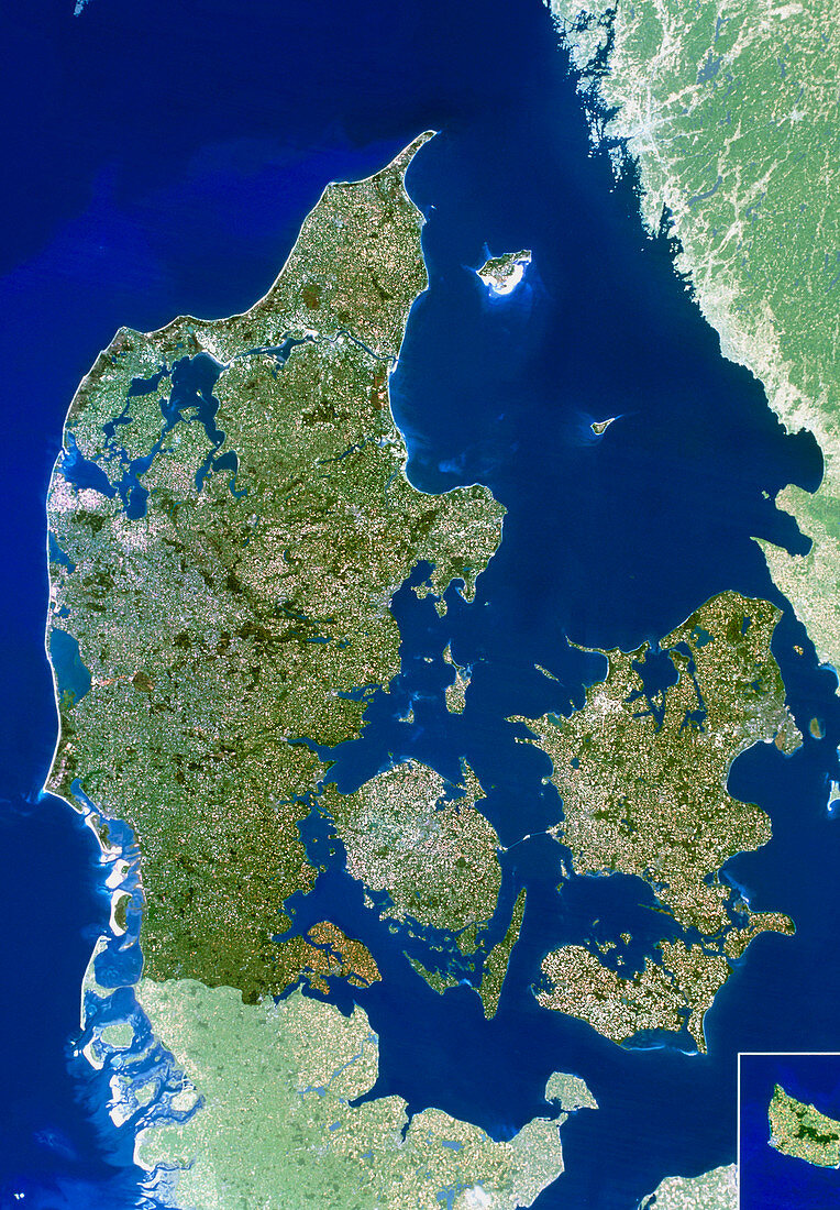
| Denmark. True-colour satellite image of Denmark (darker colours). North is at top. Water is blue,vegetation is green and bare ground is white. Part of Sweden (top right),separated from Denmark by the Kattegat Strait,and Germany (bottom left) are seen. Denmark comprises most of the Jutland (Jylland) Peninsula (centre left) along with several sizeable islands. The three largest of these are (clockwise from lower centre): Fyn,Sjaelland and Lolland. The island of Bornholm is in a box at bottom right. In reality the island lies further to the east. Denmark's western coast is ringed with sand bars and dunes (both white) | |
| Lizenzart: | Lizenzpflichtig |
| Credit: | Science Photo Library / Planetobserver |
| Bildgröße: | 2708 px × 3898 px |
| Modell-Rechte: | nicht erforderlich |
| Eigentums-Rechte: | nicht erforderlich |
| Restrictions: | - |
Preise für dieses Bild ab 15 €
Universitäten & Organisationen
(Informationsmaterial Digital, Informationsmaterial Print, Lehrmaterial Digital etc.)
ab 15 €
Redaktionell
(Bücher, Bücher: Sach- und Fachliteratur, Digitale Medien (redaktionell) etc.)
ab 30 €
Werbung
(Anzeigen, Aussenwerbung, Digitale Medien, Fernsehwerbung, Karten, Werbemittel, Zeitschriften etc.)
ab 55 €
Handelsprodukte
(bedruckte Textilie, Kalender, Postkarte, Grußkarte, Verpackung etc.)
ab 75 €
Pauschalpreise
Rechtepakete für die unbeschränkte Bildnutzung in Print oder Online
ab 495 €
