The Netherlands
Bildnummer 11735940
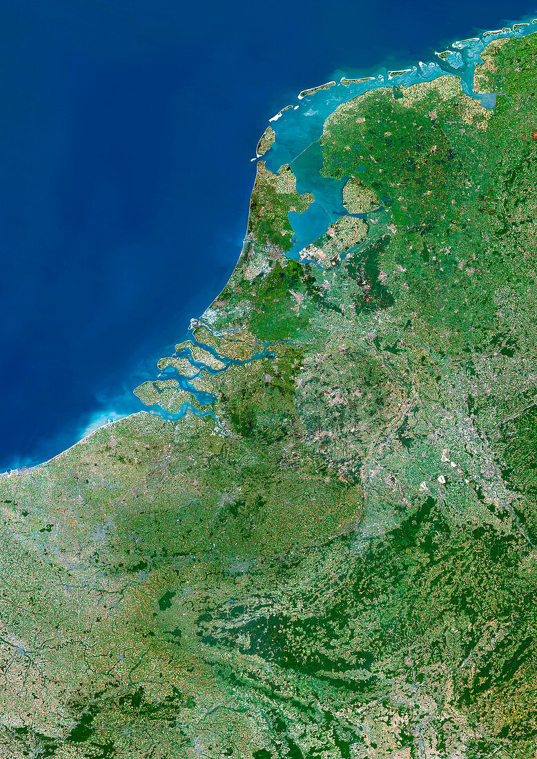
| The Netherlands,satellite image. North is at top. The image shows the Netherlands and surrounding countries of Germany to the east and Belgium to the south. The Netherlands is a country in northwest Europe of the North Sea coast. The inland area of water in the north is the Wadden Sea. This is bordered by the Islands of Friesland to the north and west. The Netherlands' capital city,Amsterdam (grey area),is situated at the southwest reach of the Wadden Sea | |
| Lizenzart: | Lizenzpflichtig |
| Credit: | Science Photo Library / Planetobserver |
| Bildgröße: | 3508 px × 4961 px |
| Modell-Rechte: | nicht erforderlich |
| Eigentums-Rechte: | nicht erforderlich |
| Restrictions: | - |
Preise für dieses Bild ab 15 €
Universitäten & Organisationen
(Informationsmaterial Digital, Informationsmaterial Print, Lehrmaterial Digital etc.)
ab 15 €
Redaktionell
(Bücher, Bücher: Sach- und Fachliteratur, Digitale Medien (redaktionell) etc.)
ab 30 €
Werbung
(Anzeigen, Aussenwerbung, Digitale Medien, Fernsehwerbung, Karten, Werbemittel, Zeitschriften etc.)
ab 55 €
Handelsprodukte
(bedruckte Textilie, Kalender, Postkarte, Grußkarte, Verpackung etc.)
ab 75 €
Pauschalpreise
Rechtepakete für die unbeschränkte Bildnutzung in Print oder Online
ab 495 €
Keywords
- Belgien,
- Benelux,
- Deutsche,
- Deutschland,
- die Niederlande,
- Erdbeobachtung,
- Erde,
- Erdkunde,
- Europa,
- europäisch,
- geografisch,
- Geographie,
- Grenzen,
- Karte,
- Kartographie,
- Küste,
- Küstenlinie,
- Land,
- Länder,
- Nation,
- Nationen,
- Nordsee,
- Satellit,
- Satellitenbild,
- Technologie,
- technologisch,
- Topographie,
- Welt,
- Weltall,
- Wissenschaften,
- Zusammengesetzt