Central Europe
Bildnummer 11735835
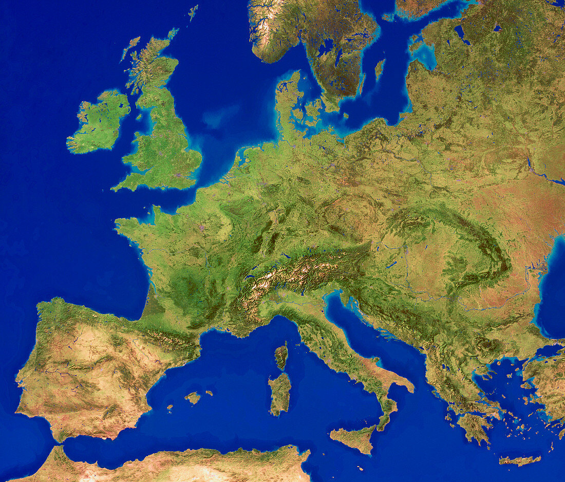
| Central Europe,computer model based on satellite data. North is at top. Water is blue,bare land is brown and vegetation is green. The Mediterranean Sea (lower centre) divides Europe from Africa (bottom left). The Atlantic Ocean (far left),North Sea (upper left),Baltic Sea (upper right) and Adriatic Sea (lower right) are seen. The lush green areas of Europe (centre) are due to its temperate climate and are contrasted with the arid regions of southern Spain and Portugal in Europe and northern Africa (lower left) | |
| Lizenzart: | Lizenzpflichtig |
| Credit: | Science Photo Library / Planetary Visions |
| Bildgröße: | 4843 px × 4129 px |
| Modell-Rechte: | nicht erforderlich |
| Eigentums-Rechte: | nicht erforderlich |
| Restrictions: | - |
Preise für dieses Bild ab 15 €
Universitäten & Organisationen
(Informationsmaterial Digital, Informationsmaterial Print, Lehrmaterial Digital etc.)
ab 15 €
Redaktionell
(Bücher, Bücher: Sach- und Fachliteratur, Digitale Medien (redaktionell) etc.)
ab 30 €
Werbung
(Anzeigen, Aussenwerbung, Digitale Medien, Fernsehwerbung, Karten, Werbemittel, Zeitschriften etc.)
ab 55 €
Handelsprodukte
(bedruckte Textilie, Kalender, Postkarte, Grußkarte, Verpackung etc.)
ab 75 €
Pauschalpreise
Rechtepakete für die unbeschränkte Bildnutzung in Print oder Online
ab 495 €
Keywords
- Afrika,
- Afrikanisch,
- Atlantischer Ozean,
- baltisch,
- Bild,
- Bilder,
- Bildgebung,
- Computermodell,
- Daten,
- Erde,
- Erdkunde,
- Europa,
- europäisch,
- farbig,
- Foto,
- Fotos,
- geografisch,
- Geographie,
- Karte,
- Kartographie,
- Kontinent,
- Kontinente,
- Land,
- Mittelmeer,
- Modelling,
- Norden,
- Satellitenbild,
- topografisch,
- Topographie,
- topographisch,
- Vegetation,
- Wasser,
- Weltall,
- Westen,
- Western,
- Wissenschaften,
- zentral