North America
Bildnummer 11735815
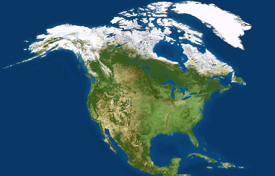
| North America,coloured satellite image. North is at top. Vegetation is green,bare earth is brown,water is blue and snow and ice are white. The topography of the land is shown,with mountain ranges dominating the west coast of the continent. Northern Canada,Alaska and the island of Greenland (white,top) extend the Arctic conditions of the polar ice cap southwards. The northern parts of the Atlantic Ocean (right) and Pacific Ocean (left) lie either side of North America. Some of the Caribbean islands are also seen (bottom right) | |
| Lizenzart: | Lizenzpflichtig |
| Credit: | Science Photo Library / Planetobserver |
| Bildgröße: | 4700 px × 3013 px |
| Modell-Rechte: | nicht erforderlich |
| Eigentums-Rechte: | nicht erforderlich |
| Restrictions: | - |
Preise für dieses Bild ab 15 €
Universitäten & Organisationen
(Informationsmaterial Digital, Informationsmaterial Print, Lehrmaterial Digital etc.)
ab 15 €
Redaktionell
(Bücher, Bücher: Sach- und Fachliteratur, Digitale Medien (redaktionell) etc.)
ab 30 €
Werbung
(Anzeigen, Aussenwerbung, Digitale Medien, Fernsehwerbung, Karten, Werbemittel, Zeitschriften etc.)
ab 55 €
Handelsprodukte
(bedruckte Textilie, Kalender, Postkarte, Grußkarte, Verpackung etc.)
ab 75 €
Pauschalpreise
Rechtepakete für die unbeschränkte Bildnutzung in Print oder Online
ab 495 €
Keywords
- 1,
- Amerikanisch,
- Arktis,
- Atlantisch,
- Berge,
- Bergkette,
- Bild,
- Bilder,
- Deckel,
- Eis,
- Erdkunde,
- farbig,
- Foto,
- Fotos,
- geografisch,
- Geographie,
- Insel,
- Inseln,
- Kanada,
- Karibik,
- Karte,
- Kontinent,
- Land,
- Linderung,
- Meer,
- Mexiko,
- Nordamerika,
- Ozean,
- Ozeane,
- Pazifik,
- polar,
- Satellitenbild,
- Schnee,
- topografisch,
- Topographie,
- topographisch,
- uns,
- USA,
- Vereinigte Staaten,
- Wasser,
- Weltall,
- Wissenschaften