South America
Bildnummer 11735784
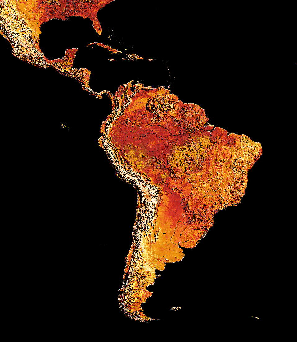
| South America. Coloured satellite image of South America. The Falkland Islands are seen to the east of its southernmost tip. Central America,the south-eastern USA and the islands of the Caribbean Sea are seen at upper left | |
| Lizenzart: | Lizenzpflichtig |
| Credit: | Science Photo Library / Dynamic Earth Imaging |
| Bildgröße: | 4189 px × 4813 px |
| Modell-Rechte: | nicht erforderlich |
| Eigentums-Rechte: | nicht erforderlich |
| Restrictions: | - |
Preise für dieses Bild ab 15 €
Universitäten & Organisationen
(Informationsmaterial Digital, Informationsmaterial Print, Lehrmaterial Digital etc.)
ab 15 €
Redaktionell
(Bücher, Bücher: Sach- und Fachliteratur, Digitale Medien (redaktionell) etc.)
ab 30 €
Werbung
(Anzeigen, Aussenwerbung, Digitale Medien, Fernsehwerbung, Karten, Werbemittel, Zeitschriften etc.)
ab 55 €
Handelsprodukte
(bedruckte Textilie, Kalender, Postkarte, Grußkarte, Verpackung etc.)
ab 75 €
Pauschalpreise
Rechtepakete für die unbeschränkte Bildnutzung in Print oder Online
ab 495 €
Keywords
- Atlantischer Ozean,
- AVHRR,
- Bild,
- Bilder,
- Daten,
- Erdkunde,
- farbig,
- Foto,
- Fotos,
- geografisch,
- Geographie,
- Karibik,
- Karte,
- Kontinent,
- Land,
- Linderung,
- Meer,
- Pazifik,
- Satellitenbild,
- Südamerika,
- topografisch,
- Topographie,
- topographisch,
- uns,
- USA,
- Vereinigte Staaten,
- Wasser,
- Weltall,
- Wissenschaften,
- Zentralamerika