North America
Bildnummer 11735783
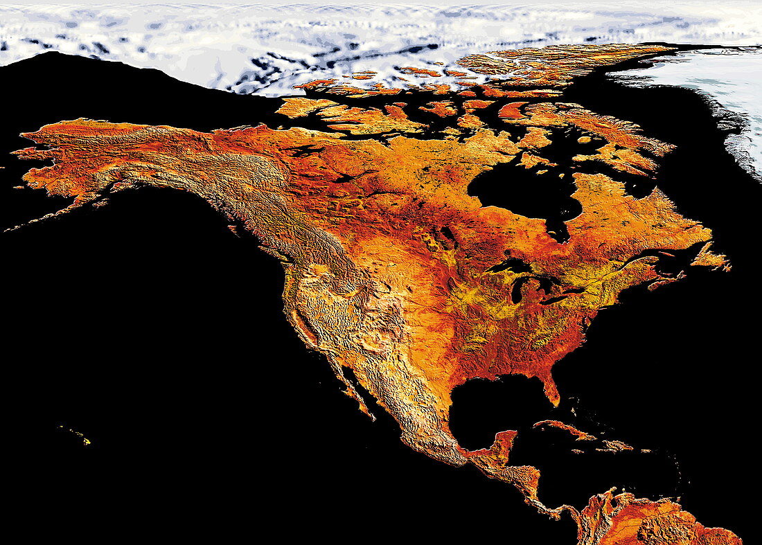
| North America. Coloured satellite image of North America. Snow and ice cover the Arctic region (white). The islands of the Caribbean Sea are seen at lower right. The northernmost region of South America is seen at bottom right | |
| Lizenzart: | Lizenzpflichtig |
| Credit: | Science Photo Library / Dynamic Earth Imaging |
| Bildgröße: | 6063 px × 4337 px |
| Modell-Rechte: | nicht erforderlich |
| Eigentums-Rechte: | nicht erforderlich |
| Restrictions: | - |
Preise für dieses Bild ab 15 €
Universitäten & Organisationen
(Informationsmaterial Digital, Informationsmaterial Print, Lehrmaterial Digital etc.)
ab 15 €
Redaktionell
(Bücher, Bücher: Sach- und Fachliteratur, Digitale Medien (redaktionell) etc.)
ab 30 €
Werbung
(Anzeigen, Aussenwerbung, Digitale Medien, Fernsehwerbung, Karten, Werbemittel, Zeitschriften etc.)
ab 55 €
Handelsprodukte
(bedruckte Textilie, Kalender, Postkarte, Grußkarte, Verpackung etc.)
ab 75 €
Pauschalpreise
Rechtepakete für die unbeschränkte Bildnutzung in Print oder Online
ab 495 €
Keywords
- 1,
- Arktis,
- Atlantischer Ozean,
- AVHRR,
- Bild,
- Bilder,
- Daten,
- Eis,
- Erdkunde,
- farbig,
- Foto,
- Fotos,
- geografisch,
- Geographie,
- Insel,
- Inseln,
- Kanada,
- Karibik,
- Karte,
- Kontinent,
- Land,
- Linderung,
- Meer,
- Nordamerika,
- Pazifik,
- Satellitenbild,
- Schnee,
- topografisch,
- Topographie,
- topographisch,
- uns,
- USA,
- Vereinigte Staaten,
- Wasser,
- Weltall,
- Wissenschaften