North-western Europe
Bildnummer 11735749
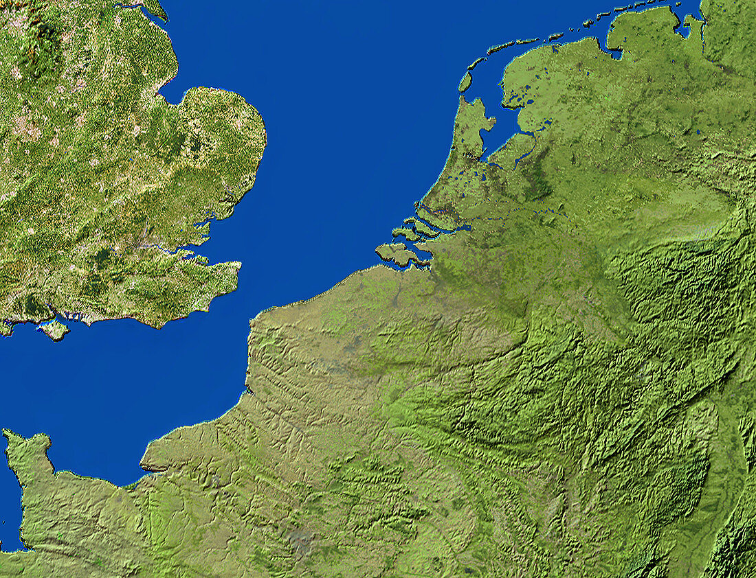
| North-western Europe. True-colour satellite image of part of north-western Europe. North is at top. Vegetation is green,water is blue and urban areas are grey. The coastal lowland countries of Belgium (lower centre) and Holland (upper right),together with the Grand Duchy of Luxembourg (a small nation in the hills at lower right),form the region of Benelux. Central and south-eastern England (upper left) are separated from continental Europe by the English Channel. Parts of Germany are at right and north-western France is at bottom left | |
| Lizenzart: | Lizenzpflichtig |
| Credit: | Science Photo Library / Worldsat International |
| Bildgröße: | 4000 px × 3063 px |
| Modell-Rechte: | nicht erforderlich |
| Eigentums-Rechte: | nicht erforderlich |
| Restrictions: |
|
Preise für dieses Bild ab 15 €
Universitäten & Organisationen
(Informationsmaterial Digital, Informationsmaterial Print, Lehrmaterial Digital etc.)
ab 15 €
Redaktionell
(Bücher, Bücher: Sach- und Fachliteratur, Digitale Medien (redaktionell) etc.)
ab 30 €
Werbung
(Anzeigen, Aussenwerbung, Digitale Medien, Fernsehwerbung, Karten, Werbemittel, Zeitschriften etc.)
ab 55 €
Handelsprodukte
(bedruckte Textilie, Kalender, Postkarte, Grußkarte, Verpackung etc.)
ab 75 €
Pauschalpreise
Rechtepakete für die unbeschränkte Bildnutzung in Print oder Online
ab 495 €