Earth centred on the Pacific Ocean
Bildnummer 11735092
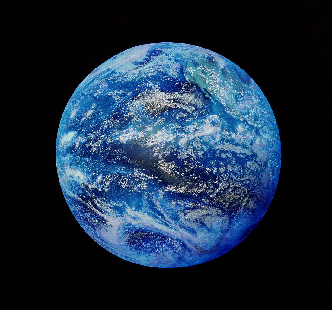
| Whole Earth. Satellite image of the whole Earth centred on the Pacific Ocean. At top right is the west coast of North America. Weather systems demarcated by white cloud formations are seen. The image was obtained in September 1998 by a Geostationary Operational Environmental Satellite (GOES) operated by the US National Oceanic and Atmospheric Administration (NOAA). GOES satellites track movements of weather systems and provide data for accurate weather forecasts | |
| Lizenzart: | Lizenzpflichtig |
| Credit: | Science Photo Library |
| Bildgröße: | 3928 px × 3670 px |
| Modell-Rechte: | nicht erforderlich |
| Eigentums-Rechte: | nicht erforderlich |
| Restrictions: | - |
Preise für dieses Bild ab 15 €
Universitäten & Organisationen
(Informationsmaterial Digital, Informationsmaterial Print, Lehrmaterial Digital etc.)
ab 15 €
Redaktionell
(Bücher, Bücher: Sach- und Fachliteratur, Digitale Medien (redaktionell) etc.)
ab 30 €
Werbung
(Anzeigen, Aussenwerbung, Digitale Medien, Fernsehwerbung, Karten, Werbemittel, Zeitschriften etc.)
ab 55 €
Handelsprodukte
(bedruckte Textilie, Kalender, Postkarte, Grußkarte, Verpackung etc.)
ab 75 €
Pauschalpreise
Rechtepakete für die unbeschränkte Bildnutzung in Print oder Online
ab 495 €
Keywords
- Bild,
- Bilder,
- Erdkunde,
- Foto,
- Fotos,
- ganze Erde,
- Ozean,
- Pazifik,
- Wissenschaften