Meteosat satellite image of the Earth
Bildnummer 11735066
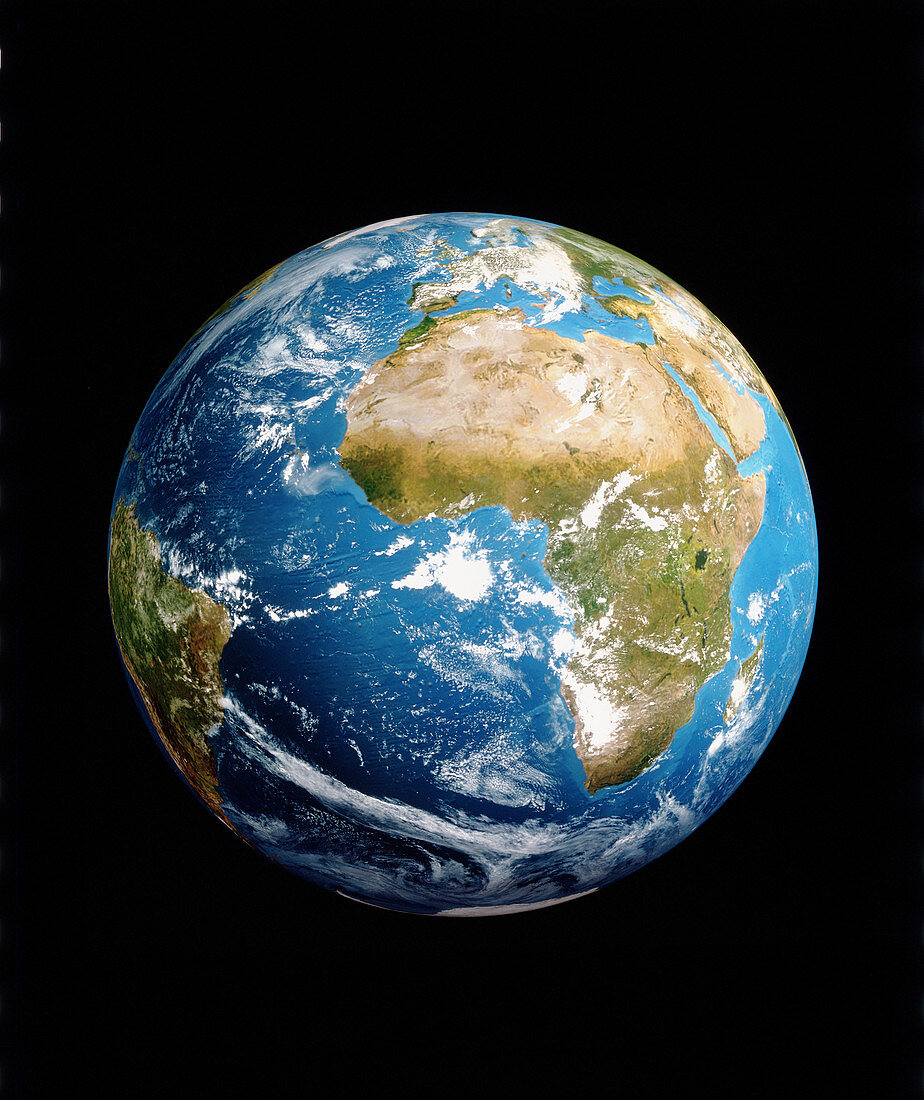
| Earth from space. Satellite image of the Earth,centred on Africa. North is at top. Land colours approximate to true tones: desert & arid regions are light brown,while vegetated areas are green. Oceans are blue. Europe is at upper centre,and part of South America is at left. Many weather systems,as revealed by white clouds,can be seen. The polar ice caps are at top and bottom. Image by a Meteosat weather satellite in geostationary orbit. Meteosat is operated on behalf of its owners Eumetsat by the European Space Agency (ESA) | |
| Lizenzart: | Lizenzpflichtig |
| Credit: | Science Photo Library / ESA |
| Bildgröße: | 3646 px × 4340 px |
| Modell-Rechte: | nicht erforderlich |
| Eigentums-Rechte: | nicht erforderlich |
| Restrictions: |
|
Preise für dieses Bild ab 15 €
Universitäten & Organisationen
(Informationsmaterial Digital, Informationsmaterial Print, Lehrmaterial Digital etc.)
ab 15 €
Redaktionell
(Bücher, Bücher: Sach- und Fachliteratur, Digitale Medien (redaktionell) etc.)
ab 30 €
Werbung
(Anzeigen, Aussenwerbung, Digitale Medien, Fernsehwerbung, Karten, Werbemittel, Zeitschriften etc.)
ab 55 €
Handelsprodukte
(bedruckte Textilie, Kalender, Postkarte, Grußkarte, Verpackung etc.)
ab 75 €
Pauschalpreise
Rechtepakete für die unbeschränkte Bildnutzung in Print oder Online
ab 495 €
Keywords
- Afrika,
- Bild,
- Bilder,
- Erde,
- Erdkunde,
- Europa,
- Foto,
- Fotos,
- ganze Erde,
- Geographie,
- Globus,
- Kontinent,
- Kugel,
- kugelförmig,
- Meteosat,
- physisch,
- Weltall,
- Wissenschaften