Whole Earth in flat projection
Bildnummer 11735061
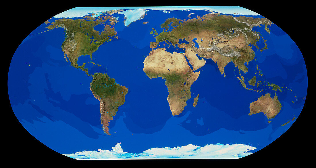
| Earth from space. Cloudless satellite image of the whole Earth,shown in Robinson flat projection. North is at top. The colours of the land approximate to natural tones,whilst blue colour- codes represent ocean topography. This image was compiled from data acquired by NOAA weather satellites over eleven ten-day periods at an altitude of 833 kilometres to give a resolution of 1 kilometre | |
| Lizenzart: | Lizenzpflichtig |
| Credit: | Science Photo Library / TOM VAN SANT, GEOSPHERE PROJECT |
| Bildgröße: | 4942 px × 2633 px |
| Modell-Rechte: | nicht erforderlich |
| Eigentums-Rechte: | nicht erforderlich |
| Restrictions: |
|
Preise für dieses Bild ab 15 €
Universitäten & Organisationen
(Informationsmaterial Digital, Informationsmaterial Print, Lehrmaterial Digital etc.)
ab 15 €
Redaktionell
(Bücher, Bücher: Sach- und Fachliteratur, Digitale Medien (redaktionell) etc.)
ab 30 €
Werbung
(Anzeigen, Aussenwerbung, Digitale Medien, Fernsehwerbung, Karten, Werbemittel, Zeitschriften etc.)
ab 55 €
Handelsprodukte
(bedruckte Textilie, Kalender, Postkarte, Grußkarte, Verpackung etc.)
ab 75 €
Pauschalpreise
Rechtepakete für die unbeschränkte Bildnutzung in Print oder Online
ab 495 €