GeoSphere centred on Africa with cloud and stars
Bildnummer 11735016
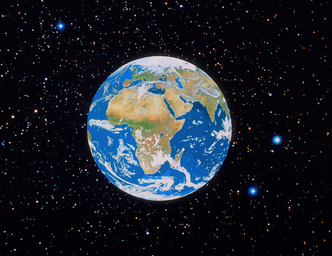
| GeoSphere image of the whole Earth centred on Africa. Cloud cover data from a NASA satellite have been added,and the whole image superimposed on a starfield background. GeoSphere is a composite of thousands of images made by the NOAA series of weather satellites. Each image was selected for lack of cloud cover and the representation of the surface colours. The selected images were then merged as a database using a graphics supercomputer which allows any view of the planet to be generated | |
| Lizenzart: | Lizenzpflichtig |
| Credit: | Science Photo Library / GEOSPHERE PROJECT, SANTA MONICA / COPYRIGHT TOM VAN SANT |
| Bildgröße: | 3543 px × 2727 px |
| Modell-Rechte: | nicht erforderlich |
| Eigentums-Rechte: | nicht erforderlich |
| Restrictions: |
|
Preise für dieses Bild ab 15 €
Universitäten & Organisationen
(Informationsmaterial Digital, Informationsmaterial Print, Lehrmaterial Digital etc.)
ab 15 €
Redaktionell
(Bücher, Bücher: Sach- und Fachliteratur, Digitale Medien (redaktionell) etc.)
ab 30 €
Werbung
(Anzeigen, Aussenwerbung, Digitale Medien, Fernsehwerbung, Karten, Werbemittel, Zeitschriften etc.)
ab 55 €
Handelsprodukte
(bedruckte Textilie, Kalender, Postkarte, Grußkarte, Verpackung etc.)
ab 75 €
Pauschalpreise
Rechtepakete für die unbeschränkte Bildnutzung in Print oder Online
ab 495 €