Inmarsat communication satellite
Bildnummer 11711033
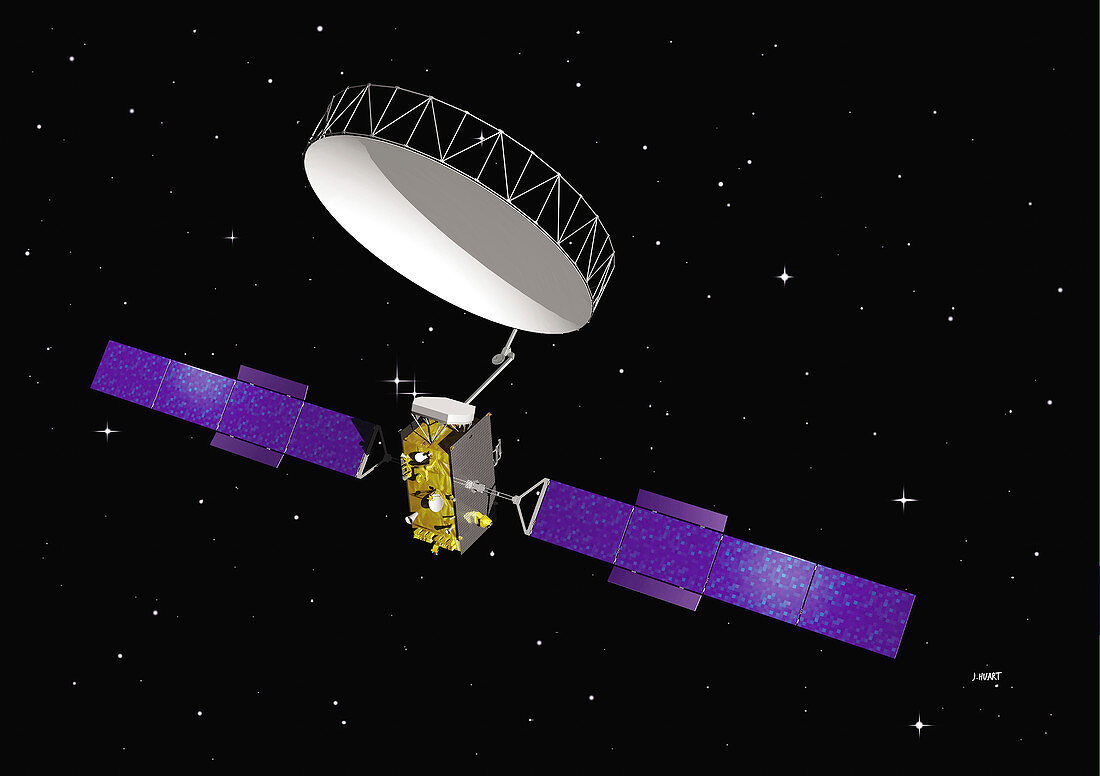
| Inmarsat communication satellite. Computer illustration of an Inmarsat communication and navigation satellite in Earth orbit. Inmarsat satellites are used to relay signals from mobile telephones. They also form part of the European Geostationary Navigation Overlay Service (EGNOS). EGNOS complements the Global Positioning System (GPS) satellites by producing transmissions which ground-based receivers can use to calculate their position | |
| Lizenzart: | Lizenzpflichtig |
| Credit: | Science Photo Library / Huart, J. / ESA |
| Bildgröße: | 3072 px × 2166 px |
| Modell-Rechte: | nicht erforderlich |
| Eigentums-Rechte: | nicht erforderlich |
| Restrictions: |
|
Preise für dieses Bild ab 15 €
Universitäten & Organisationen
(Informationsmaterial Digital, Informationsmaterial Print, Lehrmaterial Digital etc.)
ab 15 €
Redaktionell
(Bücher, Bücher: Sach- und Fachliteratur, Digitale Medien (redaktionell) etc.)
ab 30 €
Werbung
(Anzeigen, Aussenwerbung, Digitale Medien, Fernsehwerbung, Karten, Werbemittel, Zeitschriften etc.)
ab 55 €
Handelsprodukte
(bedruckte Textilie, Kalender, Postkarte, Grußkarte, Verpackung etc.)
ab 75 €
Pauschalpreise
Rechtepakete für die unbeschränkte Bildnutzung in Print oder Online
ab 495 €
Keywords
- 21. Jahrhundert,
- Ausrüstung,
- EGNOS,
- Erdbeobachtung,
- Gerät,
- Illustration,
- Industriell,
- Inmarsat,
- Kommunikation,
- Kunstwerk,
- Maschine,
- Mobiltelefon,
- Niemand,
- Orbit,
- Physik,
- physisch,
- Raumfahrzeug,
- Raumschiff,
- Satellit,
- schwarzer Hintergrund,
- Stern,
- Sterne,
- sternenklar,
- Technologie,
- technologisch,
- Telefon,
- Telekommunikation,
- umkreisend,
- Weltraumflug