Ecological mapping research
Bildnummer 11679403
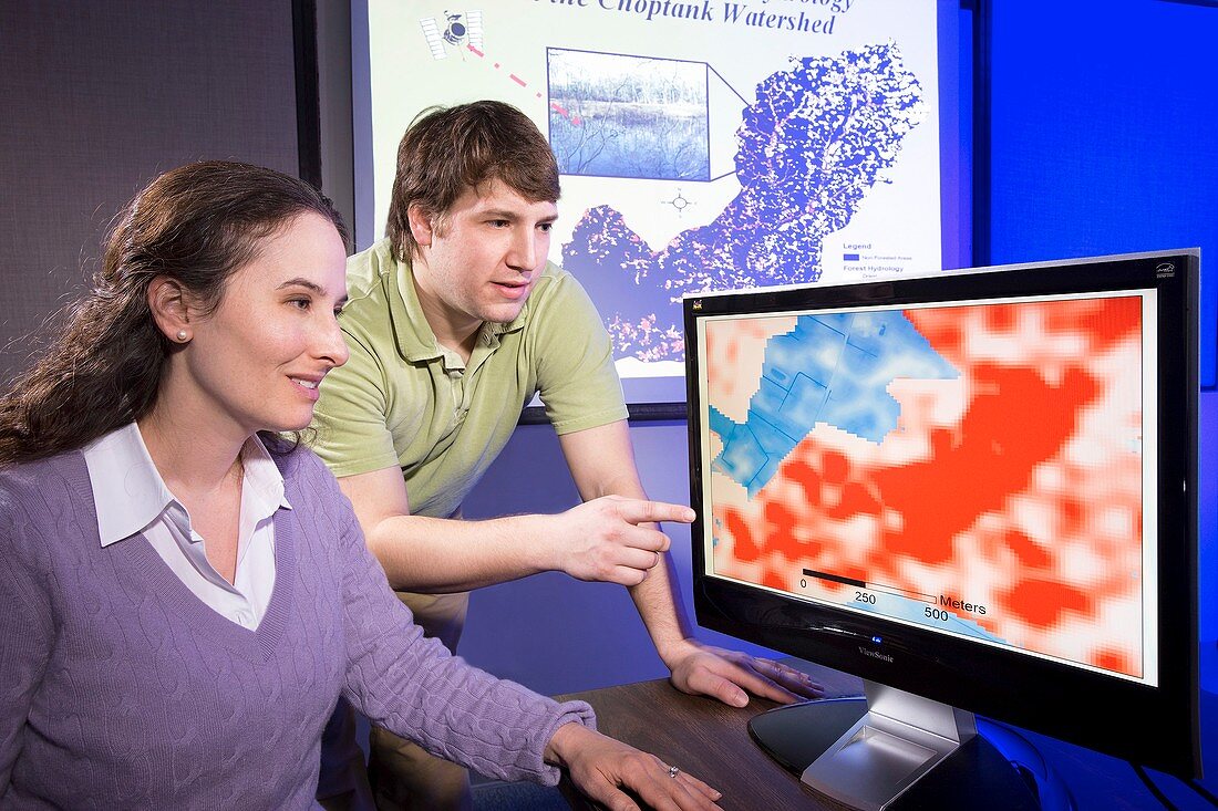
| Ecological mapping research. Researchers comparing satellite maps of forested wetland areas to determine the relationships between low (blue) and higher (white) elevations on one map,and wet (red) and drier (white) spots on the other map. The maps were created with remote-sensing technologies: laser light (LiDAR,light detection and ranging); and radio waves (SAR,synthetic aperture radar). This research is being carried out by University of Maryland researchers for the Agricultural Research Service (ARS) of the US Department of Agriculture. The area examined was the watershed of the Choptank River,Maryland,USA (map in background) | |
| Lizenzart: | Lizenzpflichtig |
| Credit: | Science Photo Library / Greb, Peggy / US Department of Agriculture |
| Bildgröße: | 3661 px × 2441 px |
| Modell-Rechte: | Derzeit liegt noch kein Release vor. Bitte kontaktieren Sie uns vor Verwendung. |
| Eigentums-Rechte: | nicht erforderlich |
| Restrictions: |
|
Preise für dieses Bild ab 15 €
Universitäten & Organisationen
(Informationsmaterial Digital, Informationsmaterial Print, Lehrmaterial Digital etc.)
ab 15 €
Redaktionell
(Bücher, Bücher: Sach- und Fachliteratur, Digitale Medien (redaktionell) etc.)
ab 30 €
Werbung
(Anzeigen, Aussenwerbung, Digitale Medien, Fernsehwerbung, Karten, Werbemittel, Zeitschriften etc.)
ab 55 €
Handelsprodukte
(bedruckte Textilie, Kalender, Postkarte, Grußkarte, Verpackung etc.)
ab 75 €
Pauschalpreise
Rechtepakete für die unbeschränkte Bildnutzung in Print oder Online
ab 495 €
Keywords
- 21. Jahrhundert,
- Amerikanisch,
- Analyse,
- analysierend,
- Anzeige,
- Bildschirm,
- Biologie,
- biologisch,
- drinnen,
- Erdbeobachtung,
- Erwachsene,
- forschend,
- Forscher,
- Forschung,
- Frau,
- Hydrologie,
- innerhalb,
- kaukasisch,
- Labor,
- Landwirtschaft,
- landwirtschaftlich,
- Laser,
- Mann,
- Männlich,
- Maryland,
- Mensch,
- Menschen,
- Nässe,
- Nordamerika,
- nordamerikanisch,
- Ökologie,
- Ökologisch,
- Person,
- Punkt,
- Radio,
- Satellitenbild,
- Satellitenbilder,
- Trocken,
- uns,
- USA,
- Vereinigte Staaten,
- vergleichen,
- Weiblich,
- weiß,
- Weltall,
- Wissenschaftler,
- zeigend,
- zwei Menschen