Satellite navigation dashboard screen
Bildnummer 11656671
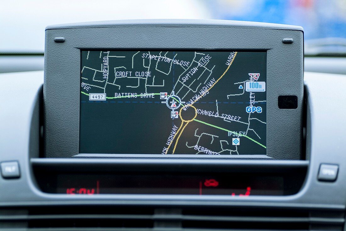
| Satellite navigation dashboard screen. Satellite navigation systems use signals from satellites orbiting the Earth to calculate the exact position of a vehicle. Such systems can be used for car,train and aircraft guidance,rescue services,and numerous other applications. This is an inbuilt system,with the display showing this car located near Redditch,UK. Photographed in 2006 | |
| Lizenzart: | Lizenzpflichtig |
| Credit: | Science Photo Library / Chillmaid, Martyn F. |
| Bildgröße: | 3618 px × 2421 px |
| Modell-Rechte: | nicht erforderlich |
| Eigentums-Rechte: | nicht erforderlich |
| Restrictions: | - |
Preise für dieses Bild ab 15 €
Universitäten & Organisationen
(Informationsmaterial Digital, Informationsmaterial Print, Lehrmaterial Digital etc.)
ab 15 €
Redaktionell
(Bücher, Bücher: Sach- und Fachliteratur, Digitale Medien (redaktionell) etc.)
ab 30 €
Werbung
(Anzeigen, Aussenwerbung, Digitale Medien, Fernsehwerbung, Karten, Werbemittel, Zeitschriften etc.)
ab 55 €
Handelsprodukte
(bedruckte Textilie, Kalender, Postkarte, Grußkarte, Verpackung etc.)
ab 75 €
Pauschalpreise
Rechtepakete für die unbeschränkte Bildnutzung in Print oder Online
ab 495 €