Political map of the world,2012
Bildnummer 11654197
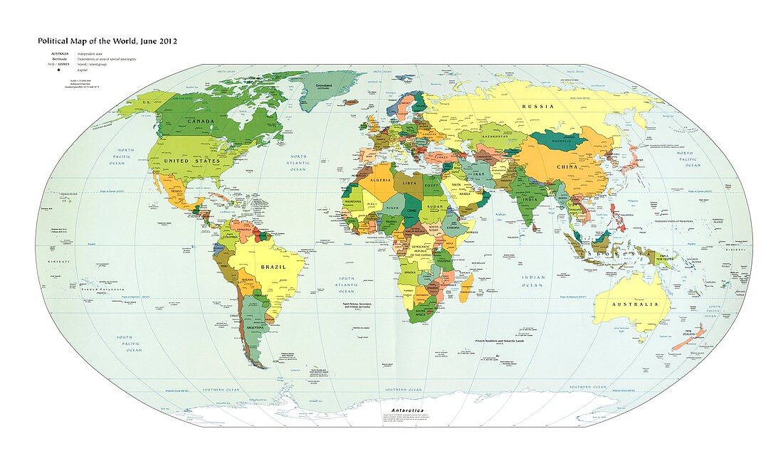
| Political map of the world as of June 2012. This map shows country borders,capital cities (starred) and major cities | |
| Lizenzart: | Lizenzpflichtig |
| Credit: | Science Photo Library / Library of Congress |
| Bildgröße: | 7913 px × 4782 px |
| Modell-Rechte: | nicht erforderlich |
| Eigentums-Rechte: | nicht erforderlich |
| Restrictions: | - |
Preise für dieses Bild ab 15 €
Universitäten & Organisationen
(Informationsmaterial Digital, Informationsmaterial Print, Lehrmaterial Digital etc.)
ab 15 €
Redaktionell
(Bücher, Bücher: Sach- und Fachliteratur, Digitale Medien (redaktionell) etc.)
ab 30 €
Werbung
(Anzeigen, Aussenwerbung, Digitale Medien, Fernsehwerbung, Karten, Werbemittel, Zeitschriften etc.)
ab 55 €
Handelsprodukte
(bedruckte Textilie, Kalender, Postkarte, Grußkarte, Verpackung etc.)
ab 75 €
Pauschalpreise
Rechtepakete für die unbeschränkte Bildnutzung in Print oder Online
ab 495 €
Keywords
- 21. Jahrhundert,
- Afrika,
- Afrikanisch,
- Antarktis,
- Asiatisch,
- Asien,
- Atlantischer Ozean,
- ausgeschnitten,
- Ausschnitte,
- Erde,
- Erdkunde,
- Europa,
- europäisch,
- geografisch,
- Geographie,
- Grafik,
- Grenzen,
- Illustration,
- Karte,
- Kartographie,
- Kontinent,
- Kontinente,
- Kunst,
- Kunstwerk,
- Kunstwerke,
- Land,
- Länder,
- Meer,
- Nordamerika,
- nordamerikanisch,
- Ozean,
- Ozeane,
- Pazifik,
- politisch,
- Robinson-Projektion,
- Städte,
- Wasser,
- Welt,
- Wissenschaften