Krakatoa map,1885
Bildnummer 11650182
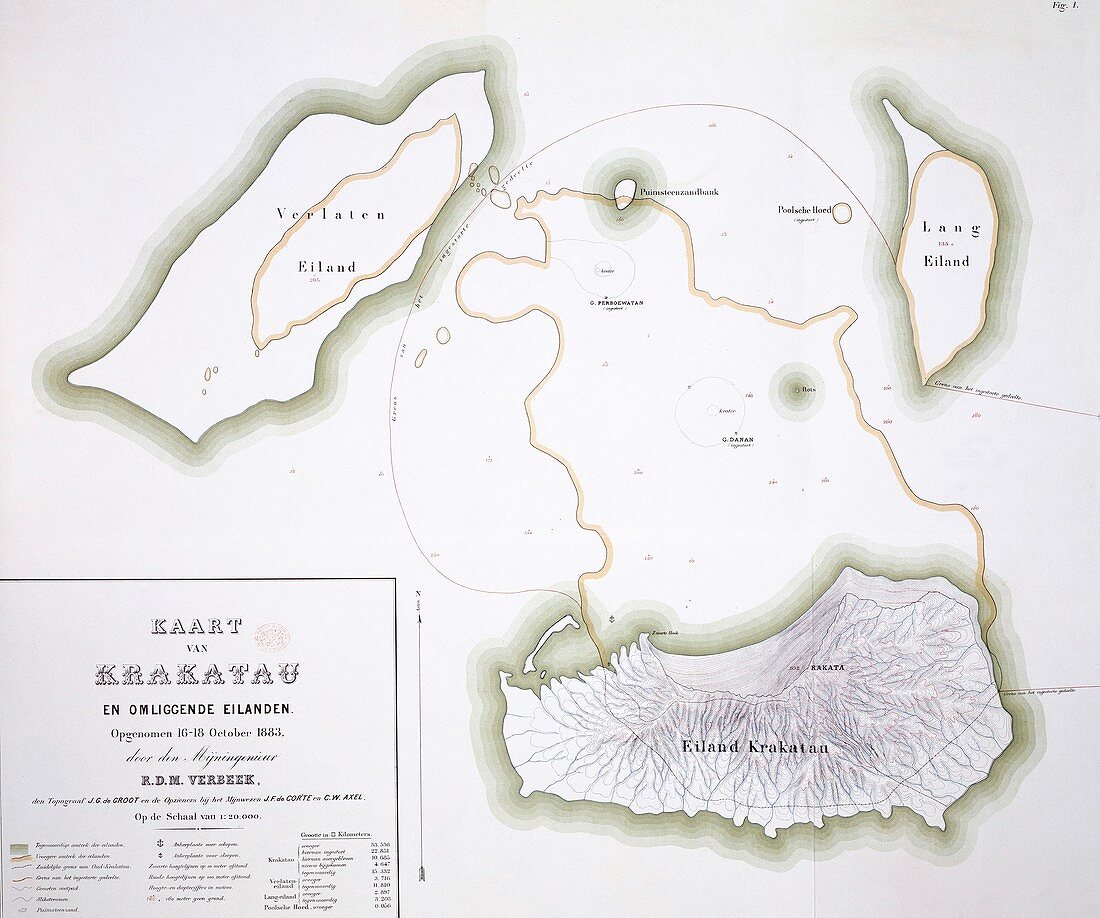
| Krakatoa map. Figure 1 from 'Krakatau' (1885) by Dutch geologist Rogier Diederik Marius Verbeek (1845-1926). This map shows the group of islands as they appeared in October 1883. This was after the catastrophic eruption in August 1883 of the volcano Krakatoa (lower right) | |
| Lizenzart: | Lizenzpflichtig |
| Credit: | Science Photo Library / Natural History Museum, London |
| Bildgröße: | 3237 px × 2700 px |
| Modell-Rechte: | nicht erforderlich |
| Eigentums-Rechte: | nicht erforderlich |
| Restrictions: | - |
Preise für dieses Bild ab 15 €
Universitäten & Organisationen
(Informationsmaterial Digital, Informationsmaterial Print, Lehrmaterial Digital etc.)
ab 15 €
Redaktionell
(Bücher, Bücher: Sach- und Fachliteratur, Digitale Medien (redaktionell) etc.)
ab 30 €
Werbung
(Anzeigen, Aussenwerbung, Digitale Medien, Fernsehwerbung, Karten, Werbemittel, Zeitschriften etc.)
ab 55 €
Handelsprodukte
(bedruckte Textilie, Kalender, Postkarte, Grußkarte, Verpackung etc.)
ab 75 €
Pauschalpreise
Rechtepakete für die unbeschränkte Bildnutzung in Print oder Online
ab 495 €
Keywords
- 1800er Jahre,
- 19. Jahrhundert,
- Asiatisch,
- Asien,
- Diagramm,
- Erdkunde,
- Eruption,
- europäisch,
- geografisch,
- Geographie,
- Geologie,
- geologisch,
- Geomorphologie,
- Geowissenschaften,
- Geschichte,
- Gruppe,
- historisch,
- Illustration,
- Indonesien,
- Indonesisch,
- Insel,
- Inseln,
- Karte,
- Katastrophe,
- Kunstwerk,
- Meer,
- Natur,
- Naturgeschichte,
- Naturkatastrophe,
- Niederländisch,
- Ozean,
- Stratovulkan,
- Südostasien,
- Vulkan,
- vulkanisch,
- Vulkanologie