Middle East,satellite image
Bildnummer 11641175
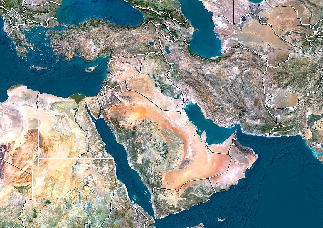
| Middle East. North is at top. Satellite image of the Middle East,showing the borders (white lines) of the countries. The Middle East is a Eurocentric term used to describe a region that roughly encompasses Western Asia. The Mediterranean Sea (blue,upper left),Black Sea (blue,top left),Caspian Sea (blue,top right),Red Sea (blue,centre left),Indian Ocean (blue,lower left),and Persian Gulf (blue,centre right) can also be seen. Image compiled from data acquired by LANDSAT satellites,in 2012 | |
| Lizenzart: | Lizenzpflichtig |
| Credit: | Science Photo Library / Planetobserver |
| Bildgröße: | 4978 px × 3523 px |
| Modell-Rechte: | nicht erforderlich |
| Restrictions: | - |
Preise für dieses Bild ab 15 €
Universitäten & Organisationen
(Informationsmaterial Digital, Informationsmaterial Print, Lehrmaterial Digital etc.)
ab 15 €
Redaktionell
(Bücher, Bücher: Sach- und Fachliteratur, Digitale Medien (redaktionell) etc.)
ab 30 €
Werbung
(Anzeigen, Aussenwerbung, Digitale Medien, Fernsehwerbung, Karten, Werbemittel, Zeitschriften etc.)
ab 55 €
Handelsprodukte
(bedruckte Textilie, Kalender, Postkarte, Grußkarte, Verpackung etc.)
ab 75 €
Pauschalpreise
Rechtepakete für die unbeschränkte Bildnutzung in Print oder Online
ab 495 €
Keywords
- 2012,
- 21. Jahrhundert,
- Ägäisches Meer,
- Arabische Halbinsel,
- Asiatisch,
- Erdbeobachtung,
- geografisch,
- Geographie,
- Grenze,
- Grenzen,
- Indischer Ozean,
- Karte,
- Kartographie,
- Kontinent,
- Kontinente,
- Land,
- Länder,
- Mittelmeer,
- Mittlerer Osten,
- Nahost,
- Nation,
- Nationen,
- Ozeane,
- Pazifik,
- Region,
- Satellit,
- Satellitenbild,
- topografisch,
- Topographie,
- Umwelt,
- Vogelperspektive,
- Von Oben,
- Weltall