Togo,satellite image
Bildnummer 11629544
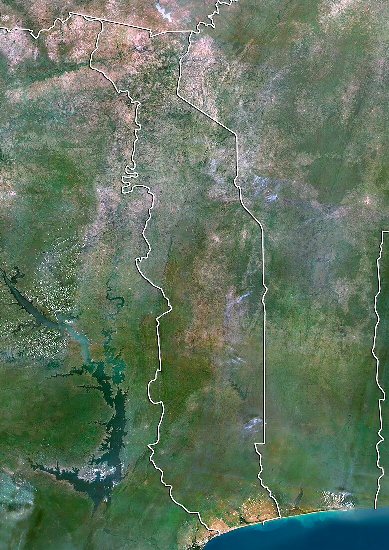
| Togo,satellite image. North is at top. Natural colour satellite image showing Togo (the Togolese Republic,centre) and the surrounding territories. Togo is located on the coast of West Africa and bordered by Ghana (left),Benin (right),and Burkina Faso (top). The Bight of Benin (blue,bottom),part of the Gulf of Guinea in the Atlantic Ocean,lies at its southernmost end. Image compiled from data acquired by the LANDSAT 5 and 7 satellites,in 2000 | |
| Lizenzart: | Lizenzpflichtig |
| Credit: | Science Photo Library / Planetobserver |
| Bildgröße: | 3482 px × 4920 px |
| Modell-Rechte: | nicht erforderlich |
| Restrictions: | - |
Preise für dieses Bild ab 15 €
Universitäten & Organisationen
(Informationsmaterial Digital, Informationsmaterial Print, Lehrmaterial Digital etc.)
ab 15 €
Redaktionell
(Bücher, Bücher: Sach- und Fachliteratur, Digitale Medien (redaktionell) etc.)
ab 30 €
Werbung
(Anzeigen, Aussenwerbung, Digitale Medien, Fernsehwerbung, Karten, Werbemittel, Zeitschriften etc.)
ab 55 €
Handelsprodukte
(bedruckte Textilie, Kalender, Postkarte, Grußkarte, Verpackung etc.)
ab 75 €
Pauschalpreise
Rechtepakete für die unbeschränkte Bildnutzung in Print oder Online
ab 495 €
Keywords
- 2000,
- 21. Jahrhundert,
- Afrikanisch,
- Atlantischer Ozean,
- Benin,
- Erdbeobachtung,
- geografisch,
- Geographie,
- Ghana,
- Golf von Guinea,
- Grenze,
- Grenzen,
- Karte,
- Kartographie,
- Küste,
- Küsten-,
- Küstenlinie,
- Land,
- Länder,
- Landsat 7,
- Nation,
- Natur,
- Natürliche Farbe,
- Rand,
- Satellit,
- Satellitenbild,
- Staat,
- topografisch,
- Topographie,
- Ufer,
- Umwelt,
- Vogelperspektive,
- Von Oben,
- Wasser,
- Weltall,
- Westafrika