Bahrain,satellite image
Bildnummer 11623238
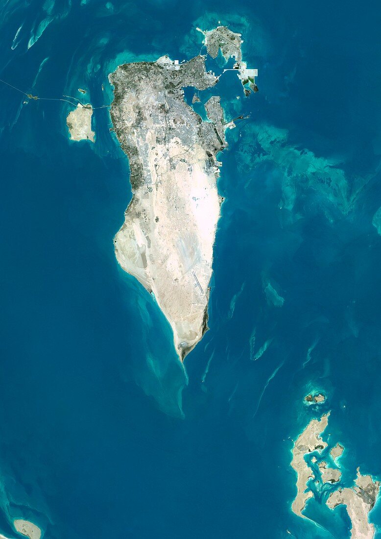
| Bahrain,satellite image. North is at top. Natural colour satellite image showing the island state of Bahrain,in the Persian Gulf (blue). Bahrain is an archipelago of 33 islands,the largest being Bahrain Island,at 55 km long by 18 km wide. Image compiled from data acquired by the LANDSAT 5 and 7 satellites,in 2000 | |
| Lizenzart: | Lizenzpflichtig |
| Credit: | Science Photo Library / Planetobserver |
| Bildgröße: | 3482 px × 4920 px |
| Modell-Rechte: | nicht erforderlich |
| Restrictions: | - |
Preise für dieses Bild ab 15 €
Universitäten & Organisationen
(Informationsmaterial Digital, Informationsmaterial Print, Lehrmaterial Digital etc.)
ab 15 €
Redaktionell
(Bücher, Bücher: Sach- und Fachliteratur, Digitale Medien (redaktionell) etc.)
ab 30 €
Werbung
(Anzeigen, Aussenwerbung, Digitale Medien, Fernsehwerbung, Karten, Werbemittel, Zeitschriften etc.)
ab 55 €
Handelsprodukte
(bedruckte Textilie, Kalender, Postkarte, Grußkarte, Verpackung etc.)
ab 75 €
Pauschalpreise
Rechtepakete für die unbeschränkte Bildnutzung in Print oder Online
ab 495 €
Keywords
- 2000,
- 21. Jahrhundert,
- Archipel,
- Asiatisch,
- Asien,
- Bahrain,
- Erdbeobachtung,
- Europa,
- europäisch,
- geografisch,
- Geographie,
- Grenze,
- Grenzen,
- Indischer Ozean,
- Insel,
- Inseln,
- Karte,
- Kartographie,
- Küste,
- Küsten-,
- Küstenlinie,
- Land,
- Länder,
- Landsat 7,
- maskiert,
- Mittlerer Osten,
- Nahost,
- Nation,
- Natur,
- Natürliche Farbe,
- Persien,
- Persisch,
- Persischer Golf,
- Rand,
- Satellit,
- Satellitenbild,
- Staat,
- topografisch,
- Topographie,
- Ufer,
- Umwelt,
- Vogelperspektive,
- Von Oben,
- Wasser,
- Weltall,
- wolkenlos