Antarctic research expedition
Bildnummer 11617308
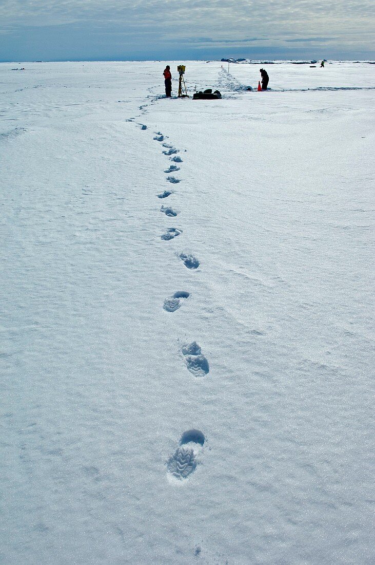
| Antarctic research expedition. 360deg scanning LIDAR (Light Detection And Ranging) being used during the JR240 ICEbell cruise. The LIDAR gives a very accurate image of the surface topography of the sea-ice. Multiple images of each site are used to create a 3 dimensional representation of the sea-ice surface. Photographed in the Belingshaussen Sea,Antarctica | |
| Lizenzart: | Lizenzpflichtig |
| Credit: | Science Photo Library / British Antarctic Survey |
| Bildgröße: | 3407 px × 5129 px |
| Modell-Rechte: | nicht erforderlich |
| Restrictions: | - |
Preise für dieses Bild ab 15 €
Universitäten & Organisationen
(Informationsmaterial Digital, Informationsmaterial Print, Lehrmaterial Digital etc.)
ab 15 €
Redaktionell
(Bücher, Bücher: Sach- und Fachliteratur, Digitale Medien (redaktionell) etc.)
ab 30 €
Werbung
(Anzeigen, Aussenwerbung, Digitale Medien, Fernsehwerbung, Karten, Werbemittel, Zeitschriften etc.)
ab 55 €
Handelsprodukte
(bedruckte Textilie, Kalender, Postkarte, Grußkarte, Verpackung etc.)
ab 75 €
Pauschalpreise
Rechtepakete für die unbeschränkte Bildnutzung in Print oder Online
ab 495 €
Keywords
- Antarktis,
- Antarktische Halbinsel,
- Ausrüstung,
- Biologie,
- biologisch,
- Drucken,
- Erwachsene,
- Expedition,
- Frau,
- Fußabdruck,
- Fußabdrücke,
- Hydrologie,
- Instrument,
- Instrumente,
- Kalt,
- kaukasisch,
- Mann,
- Männlich,
- Meer,
- Meereis,
- Meereskunde,
- Mensch,
- Menschen,
- Natur,
- Oberfläche,
- Person,
- Scannen,
- Spur,
- Spuren,
- Struktur,
- Technologie,
- technologisch,
- Tierwelt,
- topografisch,
- Topographie,
- Wasser,
- Weiblich,
- weiß,
- Zoologie,
- zoologisch