Iran,pictorial map
Bildnummer 11603490
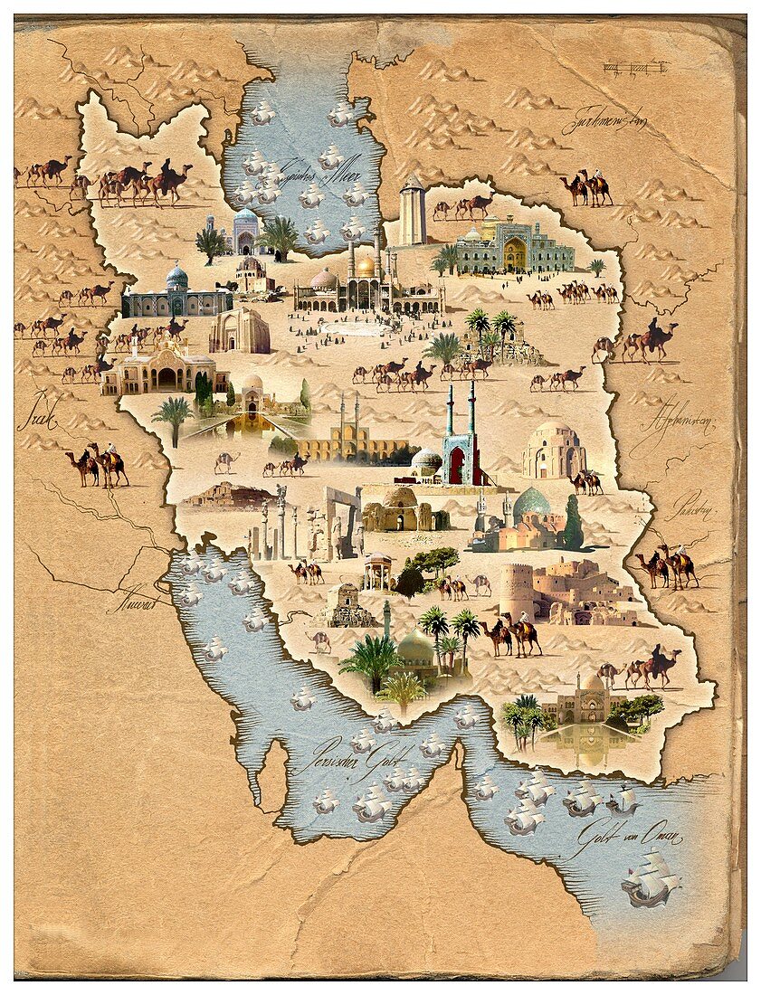
| Iran,pictorial map. This map shows Iran (centre) and the countries surrounding it. Pictures of camels,mountains,major cities and ancient buildings are shown. The buildings include mosques and palaces. To the North is the Caspian Sea,and to the south the Persian Gulf and Gulf of Oman | |
| Lizenzart: | Lizenzpflichtig |
| Credit: | Science Photo Library / Smetek |
| Bildgröße: | 2724 px × 3564 px |
| Modell-Rechte: | nicht erforderlich |
| Eigentums-Rechte: | nicht erforderlich |
| Restrictions: | - |
Preise für dieses Bild ab 15 €
Universitäten & Organisationen
(Informationsmaterial Digital, Informationsmaterial Print, Lehrmaterial Digital etc.)
ab 15 €
Redaktionell
(Bücher, Bücher: Sach- und Fachliteratur, Digitale Medien (redaktionell) etc.)
ab 30 €
Werbung
(Anzeigen, Aussenwerbung, Digitale Medien, Fernsehwerbung, Karten, Werbemittel, Zeitschriften etc.)
ab 55 €
Handelsprodukte
(bedruckte Textilie, Kalender, Postkarte, Grußkarte, Verpackung etc.)
ab 75 €
Pauschalpreise
Rechtepakete für die unbeschränkte Bildnutzung in Print oder Online
ab 495 €