Car satellite navigation system
Bildnummer 11593111
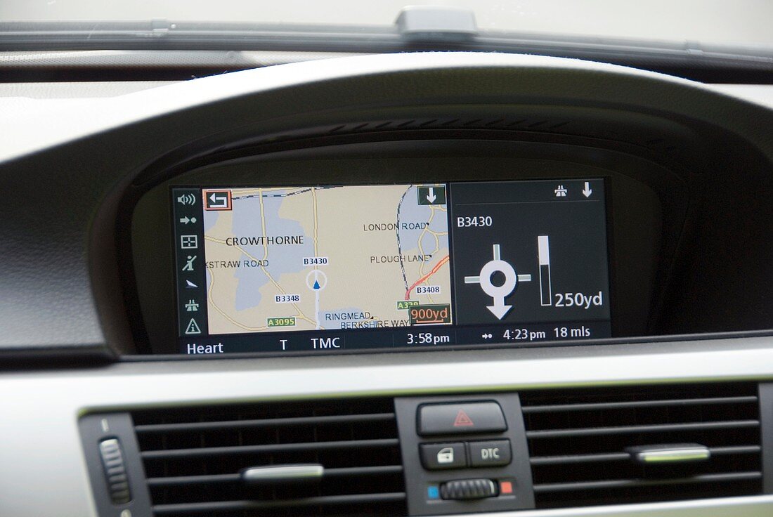
| Car satellite navigation system. Satellite navigation systems use signals from satellites orbiting the Earth to calculate the exact position of a vehicle. Such systems can be used for car,train and aircraft guidance,rescue services,and numerous other applications. This is an inbuilt system,with the display showing this car located on the B3430 road near Crowthorne in the UK | |
| Lizenzart: | Lizenzpflichtig |
| Credit: | Science Photo Library / TRL |
| Bildgröße: | 5120 px × 3427 px |
| Modell-Rechte: | nicht erforderlich |
| Restrictions: |
|
Preise für dieses Bild ab 15 €
Universitäten & Organisationen
(Informationsmaterial Digital, Informationsmaterial Print, Lehrmaterial Digital etc.)
ab 15 €
Redaktionell
(Bücher, Bücher: Sach- und Fachliteratur, Digitale Medien (redaktionell) etc.)
ab 30 €
Werbung
(Anzeigen, Aussenwerbung, Digitale Medien, Fernsehwerbung, Karten, Werbemittel, Zeitschriften etc.)
ab 55 €
Handelsprodukte
(bedruckte Textilie, Kalender, Postkarte, Grußkarte, Verpackung etc.)
ab 75 €
Pauschalpreise
Rechtepakete für die unbeschränkte Bildnutzung in Print oder Online
ab 495 €