17th Century map of London
Bildnummer 11591816
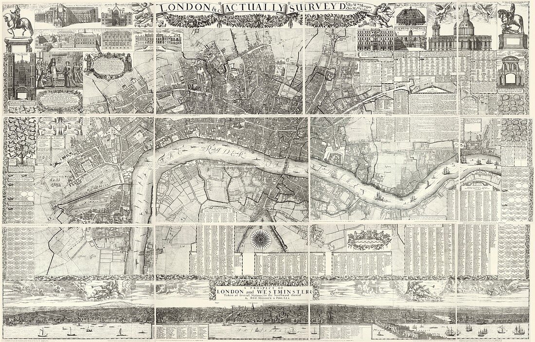
| 17th Century map of London. Historical map of London. North is at top. Westminster and Southwark (dark areas) can be seen along the north and south banks of the River Thames,respectively. This map was drawn by William Morgan in 1682 | |
| Lizenzart: | Lizenzpflichtig |
| Credit: | Science Photo Library / Library of Congress |
| Bildgröße: | 6629 px × 4234 px |
| Modell-Rechte: | nicht erforderlich |
| Eigentums-Rechte: | nicht erforderlich |
| Restrictions: | - |
Preise für dieses Bild ab 15 €
Universitäten & Organisationen
(Informationsmaterial Digital, Informationsmaterial Print, Lehrmaterial Digital etc.)
ab 15 €
Redaktionell
(Bücher, Bücher: Sach- und Fachliteratur, Digitale Medien (redaktionell) etc.)
ab 30 €
Werbung
(Anzeigen, Aussenwerbung, Digitale Medien, Fernsehwerbung, Karten, Werbemittel, Zeitschriften etc.)
ab 55 €
Handelsprodukte
(bedruckte Textilie, Kalender, Postkarte, Grußkarte, Verpackung etc.)
ab 75 €
Pauschalpreise
Rechtepakete für die unbeschränkte Bildnutzung in Print oder Online
ab 495 €
Keywords
- 1600er Jahre,
- 17. Jahrhundert,
- Alt,
- britisch,
- Englisch,
- Erdkunde,
- Europa,
- europäisch,
- Fluss,
- geografisch,
- Geographie,
- Geschichte,
- Historisch,
- Illustration,
- Karten,
- Kartographie,
- Kunstwerk,
- London,
- Planen,
- Southwark,
- Stadt,
- Stadt London,
- städtisch,
- Straße,
- Themse,
- Urbanisierung,
- Vereinigtes Königreich,
- Wasser,
- Westminster,
- William Morgan,
- Wissenschaften,
- Zentral London