Medieval geographer
Bildnummer 11590574
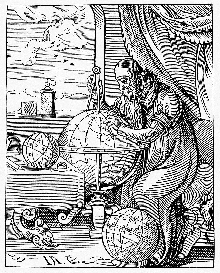
| Medieval geographer. Artwork of a 15th century geographer using a pair of dividers to measure distances on a terrestrial globe showing the known regions of the Earth. At his feet and on the table are variations on celestial globes,showing the stars and the constellations. This woodcut illustration,from Germany,dates from around 1490. This was the early stages of the period of European exploration that become known as the Age of Discovery. Portuguese explorers were mapping the coast of Africa,while Columbus reached the Americas in 1492,and Magellan achieved the first circumnavigation in 1522 | |
| Lizenzart: | Lizenzpflichtig |
| Credit: | Science Photo Library / CCI Archives |
| Bildgröße: | 3768 px × 4687 px |
| Modell-Rechte: | nicht erforderlich |
| Eigentums-Rechte: | nicht erforderlich |
| Restrictions: | - |
Preise für dieses Bild ab 15 €
Universitäten & Organisationen
(Informationsmaterial Digital, Informationsmaterial Print, Lehrmaterial Digital etc.)
ab 15 €
Redaktionell
(Bücher, Bücher: Sach- und Fachliteratur, Digitale Medien (redaktionell) etc.)
ab 30 €
Werbung
(Anzeigen, Aussenwerbung, Digitale Medien, Fernsehwerbung, Karten, Werbemittel, Zeitschriften etc.)
ab 55 €
Handelsprodukte
(bedruckte Textilie, Kalender, Postkarte, Grußkarte, Verpackung etc.)
ab 75 €
Pauschalpreise
Rechtepakete für die unbeschränkte Bildnutzung in Print oder Online
ab 495 €
Keywords
- 15. Jahrhundert,
- Alt,
- älter,
- Astronom,
- Astronomie,
- astronomisch,
- Deutschland,
- Einfarbig,
- Erde,
- Erkundung,
- Erwachsene,
- Europa,
- europäisch,
- Fenster,
- geografisch,
- Geographie,
- Geschichte,
- Globus,
- historisch,
- Illustration,
- Kartographie,
- kaukasisch,
- Kunstwerk,
- Mann,
- Männlich,
- Mensch,
- Menschen,
- Messung,
- Mittelalterlich,
- mittleren Alters,
- Person,
- Schwarz und weiß,
- Studie,
- Stuhl,
- Tisch,
- Wissenschaftler,
- Zimmer