Hispaniola,Caribbean,satellite image
Bildnummer 11568498
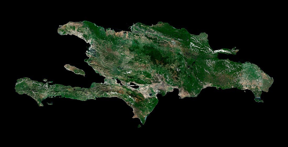
| Hispaniola. Satellite image of the island of Hispaniola in the Caribbean. North is at top. Hispaniola is divided into the Republic of Haiti to the west,and the Dominican Republic to the East. It is located in the Caribbean Sea between the islands of Cuba and Puerto Rico to the east. Forested areas are dark green,bare ground is brown,urban areas are grey,and water is black. Image created using NaturalVue data obtained from the Landsat satellite | |
| Lizenzart: | Lizenzpflichtig |
| Credit: | Science Photo Library / MDA Information Systems |
| Bildgröße: | 7000 px × 3572 px |
| Modell-Rechte: | nicht erforderlich |
| Eigentums-Rechte: | nicht erforderlich |
| Restrictions: | - |
Preise für dieses Bild ab 15 €
Universitäten & Organisationen
(Informationsmaterial Digital, Informationsmaterial Print, Lehrmaterial Digital etc.)
ab 15 €
Redaktionell
(Bücher, Bücher: Sach- und Fachliteratur, Digitale Medien (redaktionell) etc.)
ab 30 €
Werbung
(Anzeigen, Aussenwerbung, Digitale Medien, Fernsehwerbung, Karten, Werbemittel, Zeitschriften etc.)
ab 55 €
Handelsprodukte
(bedruckte Textilie, Kalender, Postkarte, Grußkarte, Verpackung etc.)
ab 75 €
Pauschalpreise
Rechtepakete für die unbeschränkte Bildnutzung in Print oder Online
ab 495 €