Cyprus,satellite image
Bildnummer 11564042
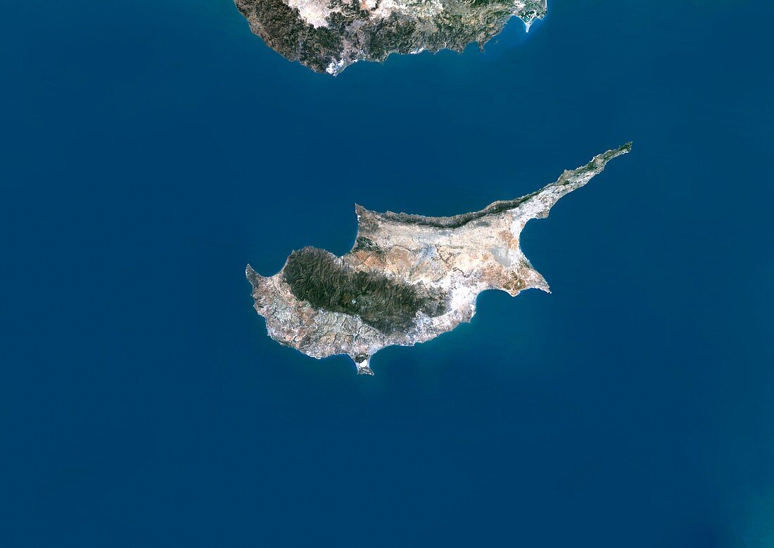
| Cyprus,satellite image. North is at top. Water is blue,vegetation is green,arid areas are brown and white,and developed areas are grey. Cyprus,an island in the eastern Mediterranean Sea,is 240 kilometres long and 100 kilometres wide. Part of the coastline of Turkey is at top. Image data obtained by the Landsat 5 and Landsat 7 satellites | |
| Lizenzart: | Lizenzpflichtig |
| Credit: | Science Photo Library / Planetobserver |
| Bildgröße: | 4978 px × 3520 px |
| Modell-Rechte: | nicht erforderlich |
| Eigentums-Rechte: | nicht erforderlich |
| Restrictions: | - |
Preise für dieses Bild ab 15 €
Universitäten & Organisationen
(Informationsmaterial Digital, Informationsmaterial Print, Lehrmaterial Digital etc.)
ab 15 €
Redaktionell
(Bücher, Bücher: Sach- und Fachliteratur, Digitale Medien (redaktionell) etc.)
ab 30 €
Werbung
(Anzeigen, Aussenwerbung, Digitale Medien, Fernsehwerbung, Karten, Werbemittel, Zeitschriften etc.)
ab 55 €
Handelsprodukte
(bedruckte Textilie, Kalender, Postkarte, Grußkarte, Verpackung etc.)
ab 75 €
Pauschalpreise
Rechtepakete für die unbeschränkte Bildnutzung in Print oder Online
ab 495 €
Keywords
- Archipel,
- ausgeschnitten,
- Ausschnitte,
- Erdbeobachtung,
- Europa,
- europäisch,
- geografisch,
- Geographie,
- Geowissenschaften,
- Grenzen,
- Insel,
- Kartographie,
- Küste,
- Küsten-,
- Küstenlinie,
- Land,
- Landsat 7,
- Meer,
- Mittelmeer,
- Nation,
- Ozean,
- Rand,
- Satellit,
- Satellitenbild,
- Topographie,
- Umwelt,
- Wasser,
- Weltall,
- Zypern