Bilder
Videos
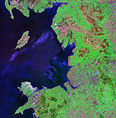
11736245 - North West England
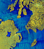
14113164 - The North Channel, satellite image

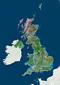
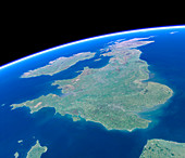
11736241 - UK and Ireland
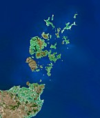
11736257 - Orkney Islands,satellite image
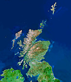
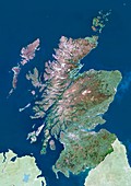
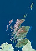
11736244 - Scotland,UK,satellite image
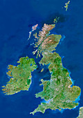
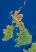
11736254 - British Isles,satellite image
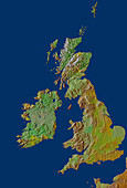
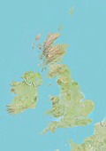
12056823 - British Isles relief map
13525323 - British Isles, satellite image
13614032 - British Isles, satellite image
13614033 - British Isles, satellite image
13525324 - British Isles, satellite image

13614034 - British Isles, satellite image

12971797 - Prehistoric Doggerland region, illustration

13417334 - Altocummulus stratiformis clouds.
12897798 - Chart of the Spanish Armada's course, 1588 (1893)

12942503 - Aircraft flying over British flag, illustration
13417353 - Altocummulus stratiformis clouds.
12969439 - Hedgehog in leaf litter

12945108 - American and British flags on circuit board, illustration

12945090 - Hand choosing pound sign currency, illustration
12540195 - British Isles and northern France, satellite image

12945109 - American and British flags disconnected, illustration

12940988 - Globe focused on United Kingdom and Europe, illustration
12945605 - Map of British Isles, illustration

12395495 - Smartphone and bus timetable

12945091 - Hand choosing pound sign currency, illustration

12450329 - Air currents over the British Isles, 1863

12945107 - British and European Union flag disconnected, illustration

12945585 - Statue of Eros in Piccadilly Circus, London, illustration

12940987 - Globe focused on United Kingdom and Europe, illustration
11712784 - Iceland and British Isles at night

12325557 - Europe from Space, Astronaut photograph

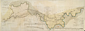
11674535 - A plan of the island of Portland
12333061 - UK at night from the ISS, February 2016
12395494 - Smartphone and bus
11670083 - Scoor Eig on the Isle of Eig
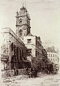
11655635 - St Bartholomew's,London,19th century

11643193 - Geological map of the British Isles
11721737 - Life belt on quayside
11655645 - Crown Court,London,19th century
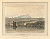
11670111 - Loch Ranza on the Isle of Arran
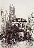
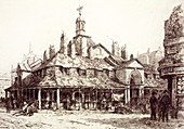
11655637 - St John's gate,London,19th century
11646462 - British Isles,satellite artwork
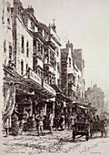
11655653 - Drury Lane,London,19th century
11670107 - Mountains on the Isle of Jura
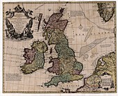
11947239 - Map of the British Isles,18th century
11655640 - Temple Bar,London,19th century

11646464 - Northern Europe,satellite artwork
11673628 - The River Thames
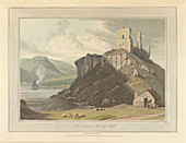
11670087 - Arros Castle on the Isle of Mull
11655639 - Aldgate,London,19th century
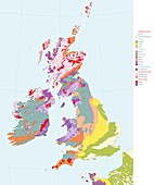
11643192 - Geological map of the British Isles
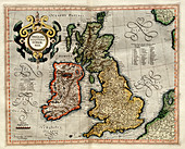
11730646 - Ireland and Britain,1595 Mercator atlas
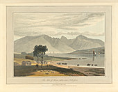
11670116 - The Isle of Arran near Ardrossan
11670112 - Mount Stuart on the Isle of Bute

11670082 - The Isle of Rum
11664756 - Halifax
11655646 - Warwick Lane,London,19th century
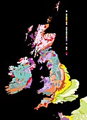
11643194 - Geological map of the British Isles
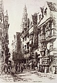
11655642 - Wych Street,London,19th century
11639692 - Scotland,UK,satellite image
11655648 - Tower Hill,London,19th century

11655641 - Bishopsgate,London,19th century
11655647 - Tower of London,19th century
11633764 - United Kingdom,satellite image
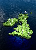
11814972 - Windfarms on British Isles,illustration
11655643 - Limehouse,London,19th century

11618617 - Weather forecasting
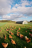
11692901 - Free range chickens
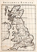
11687452 - Map of Roman Britain
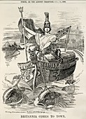
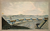
11655771 - Britannia sailing down the Thames
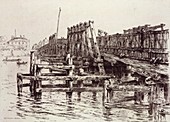
11655636 - Battersea Bridge,London,19th century
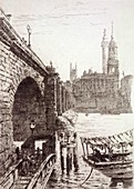
11655650 - London Bridge,London,19th century

11628316 - North-western Europe,satellite image
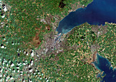
11749226 - Belfast,Northern Ireland,UK
11736258 - St Ives,Cornwall,UK,aerial view
11735537 - Ortelius's map of the British Isles,1570
11655638 - Westminster,London,19th century
11639689 - England,UK,satellite image
11629560 - United Kingdom,satellite image
11562848 - Overpopulation of the UK and Ireland
11639691 - Scotland,UK,satellite image
11655652 - Oxford Market,London,19th century

11655649 - Shadwell,London,19th century
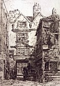
11655634 - Cripplegate,London,19th century

11599179 - British Isles,satellite image
11736249 - British Isles from space
11570980 - British Isles,satellite image
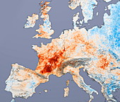
11736486 - European heatwave 2003,satellite image
11736246 - Essex,UK,satellite image
11610307 - Flooding risks,conceptual image
11830548 - John Phillips,English geologist

11750228 - Hertfordshire oil fire smoke,UK,2005
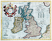
11735499 - 16th century map of the British Isles

11736256 - County Durham,England
11736243 - Land's End,UK,aerial image
11736236 - South-eastern England
11735814 - Europe
11655651 - Staples Inn,London,19th century
nächste Seite
Britische Inseln Bilder ❘ Science Photo Library