Cumulus congestus and storm clouds behind trees
Bildnummer 12969724
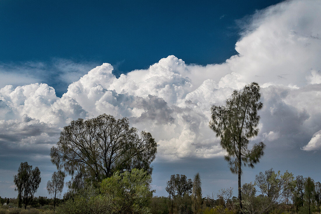
| Cumulus congestus and storm clouds behind trees in Australia. These rapidly-building storm clouds are classified as cumulus congestus and cumulonimbus calvus. Cumulus clouds typically occur under 2000 metres altitude. They form from water vapour in rising columns of air which condenses as it cools. Cumulus clouds often form at cold fronts where the advancing, cool air forces warm air upwards. The congestus variety (also known as towering cumulus) can rise to great heights and can develop into cumulonimbus clouds (thunderheads). Photographed mid-afternoon in October, near Uluru in central Australia. | |
| Lizenzart: | Lizenzpflichtig |
| Credit: | Science Photo Library / STEPHEN BURT |
| Bildgröße: | 5209 px × 3472 px |
| Modell-Rechte: | nicht erforderlich |
| Eigentums-Rechte: | nicht erforderlich |
| Restrictions: | - |
Preise für dieses Bild ab 15 €
Universitäten & Organisationen
(Informationsmaterial Digital, Informationsmaterial Print, Lehrmaterial Digital etc.)
ab 15 €
Redaktionell
(Bücher, Bücher: Sach- und Fachliteratur, Digitale Medien (redaktionell) etc.)
ab 30 €
Werbung
(Anzeigen, Aussenwerbung, Digitale Medien, Fernsehwerbung, Karten, Werbemittel, Zeitschriften etc.)
ab 55 €
Handelsprodukte
(bedruckte Textilie, Kalender, Postkarte, Grußkarte, Verpackung etc.)
ab 75 €
Pauschalpreise
Rechtepakete für die unbeschränkte Bildnutzung in Print oder Online
ab 495 €