Map of London, 1560
Bildnummer 12902142
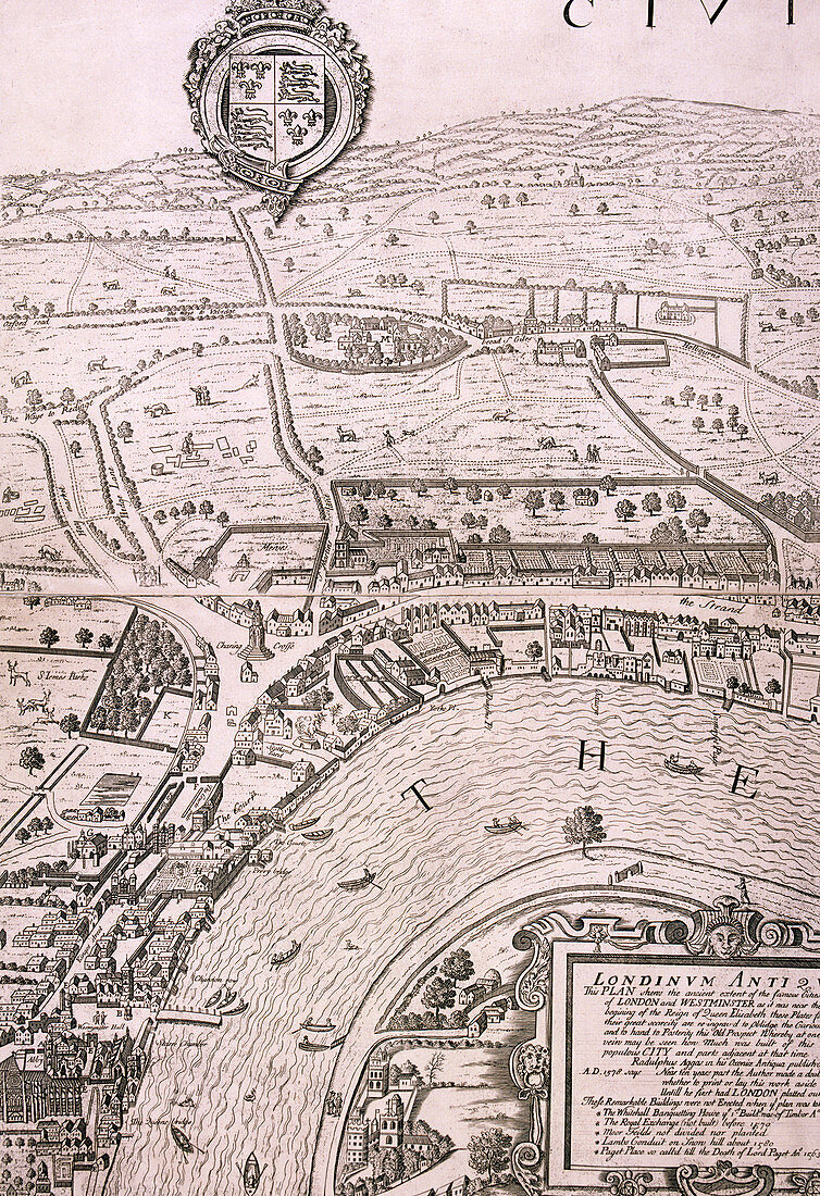
| Map of London in the year 1560; showing the area between Westminster and the Strand, with Lambeth to the south of the River Thames and the Tudor royal arms at the top. Artist: George Vertue. | |
| Lizenzart: | Lizenzpflichtig |
| Credit: | Science Photo Library / Heritage Images / London Metropolitan Archives-City of London |
| Bildgröße: | 3461 px × 5047 px |
| Modell-Rechte: | nicht erforderlich |
| Eigentums-Rechte: | nicht erforderlich |
| Restrictions: | - |
Preise für dieses Bild ab 15 €
Universitäten & Organisationen
(Informationsmaterial Digital, Informationsmaterial Print, Lehrmaterial Digital etc.)
ab 15 €
Redaktionell
(Bücher, Bücher: Sach- und Fachliteratur, Digitale Medien (redaktionell) etc.)
ab 30 €
Werbung
(Anzeigen, Aussenwerbung, Digitale Medien, Fernsehwerbung, Karten, Werbemittel, Zeitschriften etc.)
ab 55 €
Handelsprodukte
(bedruckte Textilie, Kalender, Postkarte, Grußkarte, Verpackung etc.)
ab 75 €
Pauschalpreise
Rechtepakete für die unbeschränkte Bildnutzung in Print oder Online
ab 495 €
Keywords
- 1500er Jahre,
- 16. Jahrhundert,
- Einfarbig,
- England,
- Englisch,
- Fluss,
- geografisch,
- Geographie,
- geographische Eigenschaft,
- Geschichte,
- Gravur,
- historisch,
- Illustration,
- Jahrhundert,
- Karte,
- königlich,
- Kunstwerk,
- Lambeth,
- London,
- Menschen,
- Person,
- schwarz und weiß,
- Sechzehntes Jahrhundert,
- Stadt London,
- Themse,
- Tudor,
- Wappen,
- Westminster