Tasman's Carpenter Landing', 1644 (1886)
Bildnummer 12901913
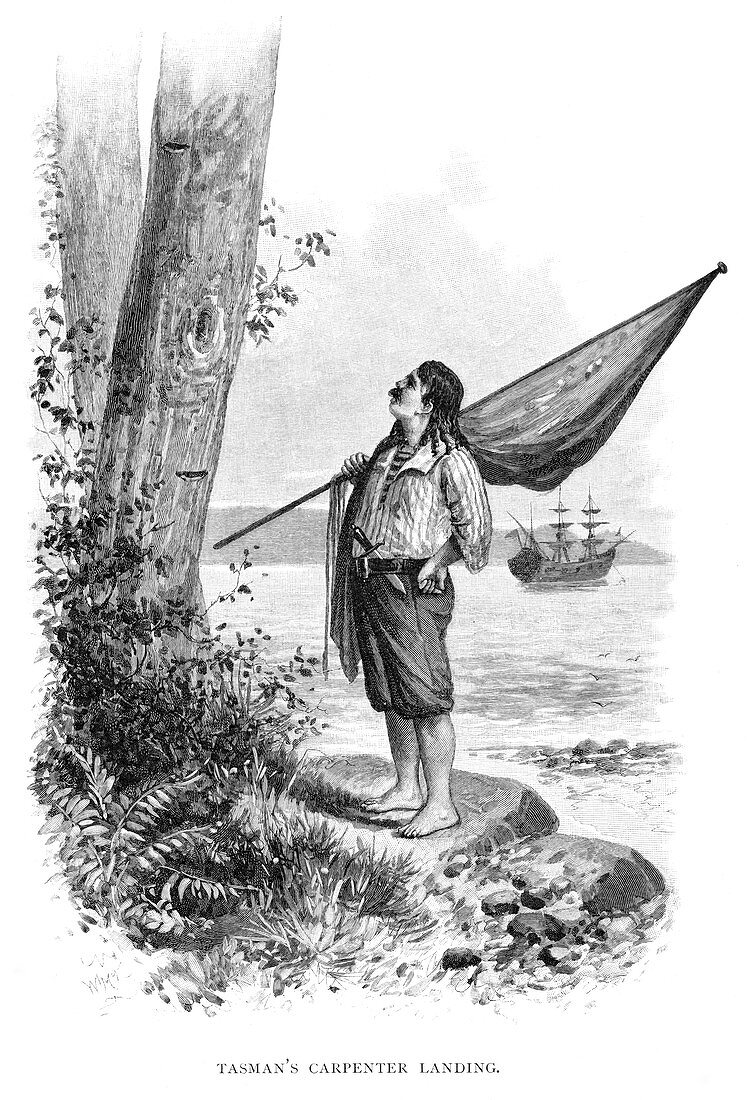
| Tasman's Carpenter Landing', 1644 (1886). Dutch explorer Abel Tasman mapped the north coast of Australia in 1644. He is best known for his discovery of Tasmania two years previously. Wood engraving from 'Picturesque Atlas of Australasia, Vol I', by Andrew Garran, illustrated under the supervision of Frederic B Schell, (Picturesque Atlas Publishing Co, 1886). | |
| Lizenzart: | Lizenzpflichtig |
| Credit: | Science Photo Library / Heritage Images / The Print Collector |
| Bildgröße: | 3450 px × 5070 px |
| Modell-Rechte: | nicht erforderlich |
| Eigentums-Rechte: | nicht erforderlich |
| Restrictions: | - |
Preise für dieses Bild ab 15 €
Universitäten & Organisationen
(Informationsmaterial Digital, Informationsmaterial Print, Lehrmaterial Digital etc.)
ab 15 €
Redaktionell
(Bücher, Bücher: Sach- und Fachliteratur, Digitale Medien (redaktionell) etc.)
ab 30 €
Werbung
(Anzeigen, Aussenwerbung, Digitale Medien, Fernsehwerbung, Karten, Werbemittel, Zeitschriften etc.)
ab 55 €
Handelsprodukte
(bedruckte Textilie, Kalender, Postkarte, Grußkarte, Verpackung etc.)
ab 75 €
Pauschalpreise
Rechtepakete für die unbeschränkte Bildnutzung in Print oder Online
ab 495 €
Keywords
- 1600er Jahre,
- 17. Jahrhundert,
- 1800er Jahre,
- 19. Jahrhundert,
- Australien,
- australisch,
- Banner,
- Baum,
- Bucht,
- Einfarbig,
- Entdeckung,
- Erkundung,
- Flagge,
- Flaggen,
- geografisch,
- Geographie,
- geographische Eigenschaft,
- Geschichte,
- Gravur,
- historisch,
- Holland,
- Holzstich,
- Illustration,
- Jahrhundert,
- Konzept,
- Kunstwerk,
- Küste,
- Land,
- Meer,
- Natur,
- neunzehnten Jahrhundert,
- Niederländisch,
- Ozeanien,
- Pflanze,
- Schiff,
- Schiffe,
- schwarz und weiß,
- Segelschiff,
- siebzehntes Jahrhundert,
- Standard,
- Tragen,
- Transport,
- Wassertransport