Satellite view of smoke plumes over Lancashire, England
Bildnummer 12638819
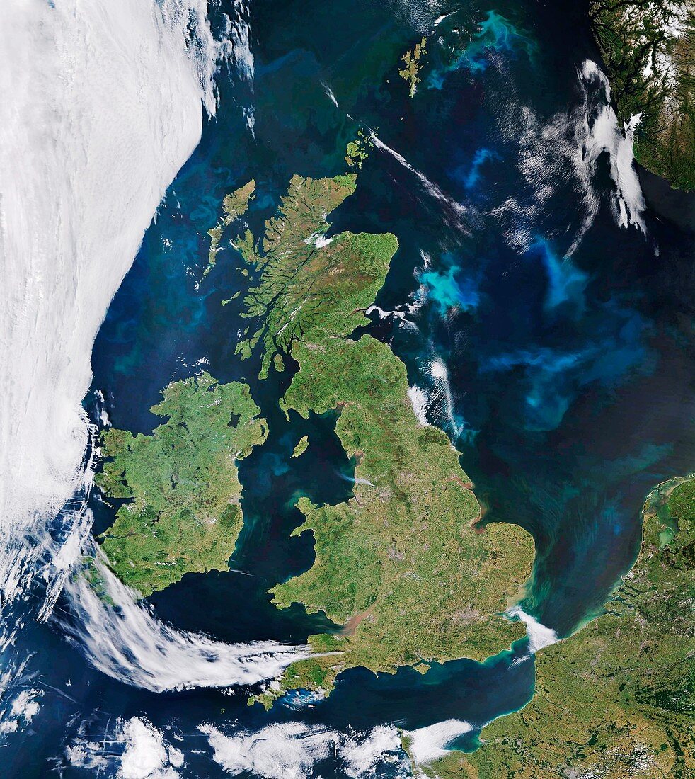
| Satellite view showing the plumes of smoke (lower centre) from the wildfires affecting the moorland in Lancashire, England. The smoke can be seen drifting towards the Irish sea. The wildfires first broke out on June 24th 2018 and this satellite image was taken on June 30th 2018 at 11:04 UTC. Hundreds of firefighters were deployed to tackle the blaze and a particular prolonged spell of dry weather was a contributing factor of the large scale of the wildfires. The satellite sensor used was Modis. | |
| Lizenzart: | Lizenzpflichtig |
| Credit: | Science Photo Library / University of Dundee |
| Bildgröße: | 3966 px × 4441 px |
| Modell-Rechte: | nicht erforderlich |
| Eigentums-Rechte: | nicht erforderlich |
| Restrictions: | - |
Preise für dieses Bild ab 15 €
Universitäten & Organisationen
(Informationsmaterial Digital, Informationsmaterial Print, Lehrmaterial Digital etc.)
ab 15 €
Redaktionell
(Bücher, Bücher: Sach- und Fachliteratur, Digitale Medien (redaktionell) etc.)
ab 30 €
Werbung
(Anzeigen, Aussenwerbung, Digitale Medien, Fernsehwerbung, Karten, Werbemittel, Zeitschriften etc.)
ab 55 €
Handelsprodukte
(bedruckte Textilie, Kalender, Postkarte, Grußkarte, Verpackung etc.)
ab 75 €
Pauschalpreise
Rechtepakete für die unbeschränkte Bildnutzung in Print oder Online
ab 495 €