Global positioning system
Bildnummer 11897120
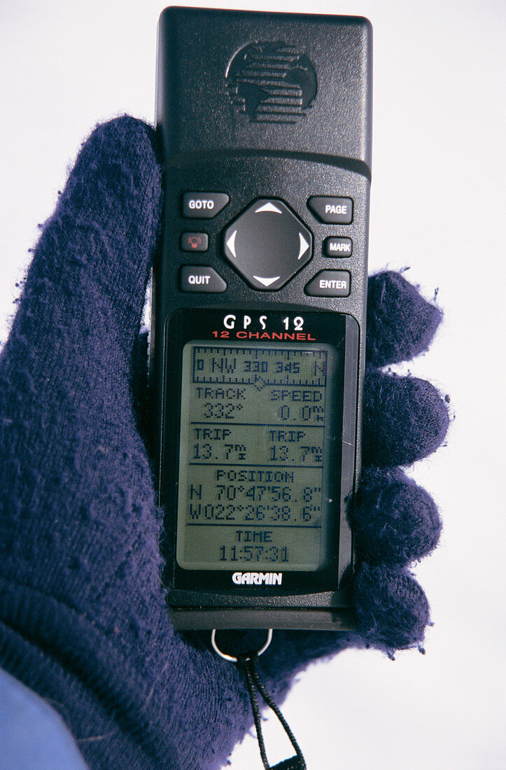
| Global positioning system (GPS) receiver being held in a hand. The system utilizes a network of satellites that orbit the Earth. Each of these sends out signals about its position and the time. By using the signals,the receiver can calculate its latitude,longitude & altitude,as well as the local time. Photographed in Greenland | |
| Lizenzart: | Lizenzpflichtig |
| Credit: | Science Photo Library / Fraser, Simon |
| Bildgröße: | 3030 px × 4610 px |
| Modell-Rechte: | nicht erforderlich |
| Eigentums-Rechte: | nicht erforderlich |
| Restrictions: | - |
Preise für dieses Bild ab 15 €
Universitäten & Organisationen
(Informationsmaterial Digital, Informationsmaterial Print, Lehrmaterial Digital etc.)
ab 15 €
Redaktionell
(Bücher, Bücher: Sach- und Fachliteratur, Digitale Medien (redaktionell) etc.)
ab 30 €
Werbung
(Anzeigen, Aussenwerbung, Digitale Medien, Fernsehwerbung, Karten, Werbemittel, Zeitschriften etc.)
ab 55 €
Handelsprodukte
(bedruckte Textilie, Kalender, Postkarte, Grußkarte, Verpackung etc.)
ab 75 €
Pauschalpreise
Rechtepakete für die unbeschränkte Bildnutzung in Print oder Online
ab 495 €
Keywords
- Anzeige,
- Arktis,
- Elektronik,
- elektronisch,
- Empfänger,
- Garmin,
- Hand,
- Klima,
- Norden,
- Ort,
- Position,
- Technologie,
- tragbar,
- Umwelt