GPS satellite,artwork
Bildnummer 11889063
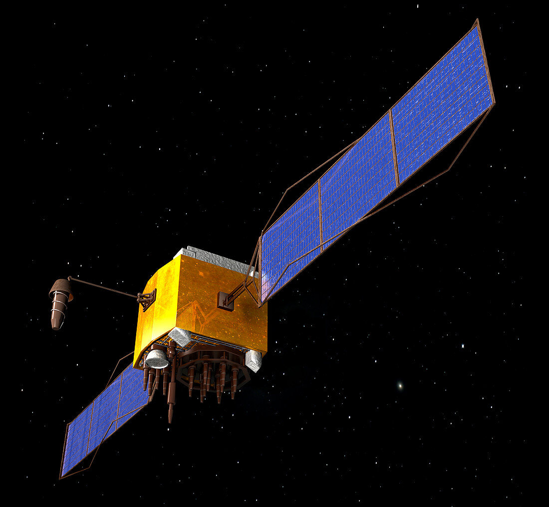
| GPS satellite. Computer artwork of a NAVSTAR (navigational signal timing and ranging) global positioning system (GPS) satellite in orbit around the earth. NAVSTAR is operated by the US Air Force for the US Department of Defence and orbits at 20,200 kilometres. The network of 28 satellites,24 of which are active and 4 of which are spares,provides information to military and civilian users worldwide. Uses of GPS include car and ship guidance,vehicle tracking,mapping and reconnaissance,and search and rescue | |
| Lizenzart: | Lizenzpflichtig |
| Credit: | Science Photo Library / Saurer, Friedrich |
| Bildgröße: | 4878 px × 4500 px |
| Modell-Rechte: | nicht erforderlich |
| Eigentums-Rechte: | nicht erforderlich |
| Restrictions: | - |
Preise für dieses Bild ab 15 €
Universitäten & Organisationen
(Informationsmaterial Digital, Informationsmaterial Print, Lehrmaterial Digital etc.)
ab 15 €
Redaktionell
(Bücher, Bücher: Sach- und Fachliteratur, Digitale Medien (redaktionell) etc.)
ab 30 €
Werbung
(Anzeigen, Aussenwerbung, Digitale Medien, Fernsehwerbung, Karten, Werbemittel, Zeitschriften etc.)
ab 55 €
Handelsprodukte
(bedruckte Textilie, Kalender, Postkarte, Grußkarte, Verpackung etc.)
ab 75 €
Pauschalpreise
Rechtepakete für die unbeschränkte Bildnutzung in Print oder Online
ab 495 €