Stonehenge,United Kingdom
Bildnummer 11879629
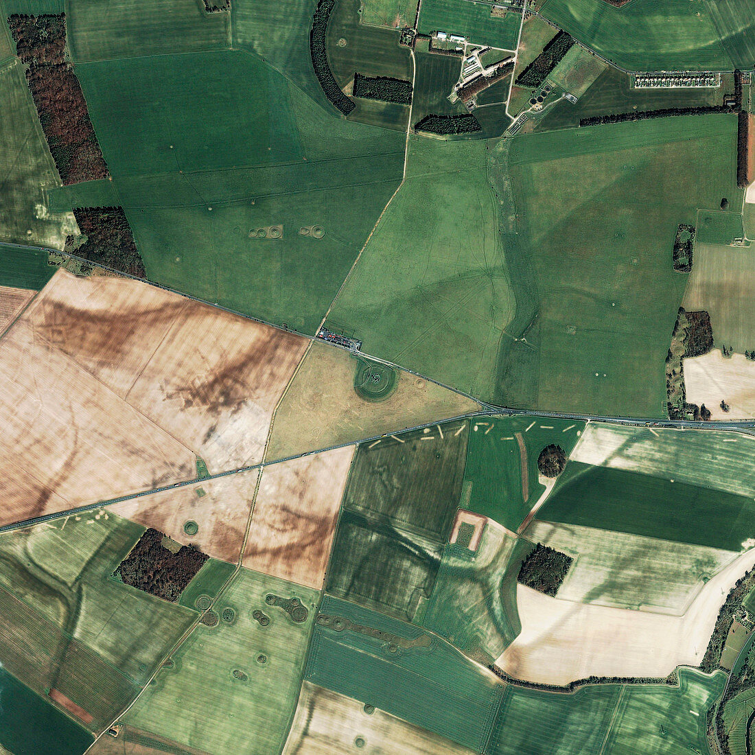
| Stonehenge,United Kingdom,satellite image. North is at top. Stonehenge,a circle of standing stones on Salisbury Plain,is at centre,surrounded by fields and roads. Some of the stones were erected around 2000 BC by a Stone Age civilisation known as the Beaker culture. It is thought that the alignment of the standing stones was planned so that sunlight would shine on particular areas on important astronomical dates,such as the summer solstice,the longest day of the year. Image obtained by the Ikonos satellite on 27 March 2002 | |
| Lizenzart: | Lizenzpflichtig |
| Credit: | Science Photo Library / Geoeye |
| Bildgröße: | 3000 px × 3000 px |
| Modell-Rechte: | nicht erforderlich |
| Eigentums-Rechte: | nicht erforderlich |
| Restrictions: | - |
Preise für dieses Bild ab 15 €
Universitäten & Organisationen
(Informationsmaterial Digital, Informationsmaterial Print, Lehrmaterial Digital etc.)
ab 15 €
Redaktionell
(Bücher, Bücher: Sach- und Fachliteratur, Digitale Medien (redaktionell) etc.)
ab 30 €
Werbung
(Anzeigen, Aussenwerbung, Digitale Medien, Fernsehwerbung, Karten, Werbemittel, Zeitschriften etc.)
ab 55 €
Handelsprodukte
(bedruckte Textilie, Kalender, Postkarte, Grußkarte, Verpackung etc.)
ab 75 €
Pauschalpreise
Rechtepakete für die unbeschränkte Bildnutzung in Print oder Online
ab 495 €
Keywords
- 21. Jahrhundert,
- Archäoastronomie,
- Archäologie,
- archäologisch,
- Astronomie,
- astronomisch,
- britisch,
- England,
- Englisch,
- Erdbeobachtung,
- Europa,
- europäisch,
- Felder,
- geografisch,
- Geographie,
- Geschichte,
- Großbritannien,
- henge,
- historisch,
- IKONOS,
- Kreis,
- Megalith,
- Menschen,
- Monolith,
- Monolithisch,
- Monument,
- neolithisch,
- Observatorium,
- prähistorisch,
- Religion,
- religiös,
- Ring,
- Satellit,
- Satellitenbild,
- Steinkreis,
- Steinzeit,
- Tourismus,
- Touristenattraktion,
- Vereinigtes Königreich,
- Vorgeschichte,
- Weltall,
- Zeremonie