Illinois,USA
Bildnummer 11736093
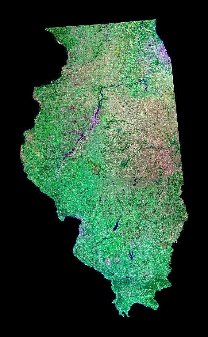
| Illinois,USA,combined visible and infrared satellite image. North is at top. Vegetation is green or red,water is blue,and urban areas are pink. Illinois is a state in the north-central part of the USA,and extends 610 kilometres from north to south. The major city is Chicago (upper right) on the shores of Lake Michigan (not seen). Most of the state consists of flat prairies that are intensively farmed. The main rivers are the Mississippi River (which forms the western border),the Illinois River (running from upper centre to centre left),and the Ohio River (which forms the south-eastern border) | |
| Lizenzart: | Lizenzpflichtig |
| Credit: | Science Photo Library / MDA Information Systems |
| Bildgröße: | 3068 px × 4977 px |
| Modell-Rechte: | nicht erforderlich |
| Eigentums-Rechte: | nicht erforderlich |
| Restrictions: | - |
Preise für dieses Bild ab 15 €
Universitäten & Organisationen
(Informationsmaterial Digital, Informationsmaterial Print, Lehrmaterial Digital etc.)
ab 15 €
Redaktionell
(Bücher, Bücher: Sach- und Fachliteratur, Digitale Medien (redaktionell) etc.)
ab 30 €
Werbung
(Anzeigen, Aussenwerbung, Digitale Medien, Fernsehwerbung, Karten, Werbemittel, Zeitschriften etc.)
ab 55 €
Handelsprodukte
(bedruckte Textilie, Kalender, Postkarte, Grußkarte, Verpackung etc.)
ab 75 €
Pauschalpreise
Rechtepakete für die unbeschränkte Bildnutzung in Print oder Online
ab 495 €
Keywords
- Ackerland,
- Amerikanisch,
- Bauernhöfe,
- Bodennutzung,
- Chicago,
- Ebene,
- Erdbeobachtung,
- Erdkunde,
- Feld,
- Felder,
- Fluss,
- Flüsse,
- geografisch,
- Geographie,
- Great Plains,
- Illinois,
- infrarot,
- ir,
- Landwirtschaft,
- landwirtschaftlich,
- Mississippi,
- Nordamerika,
- nordamerikanisch,
- Ohio River,
- Prärie,
- Satellit,
- Satellitenbild,
- Staat,
- Stadt,
- Städte,
- städtisch,
- uns,
- USA,
- Vereinigte Staaten,
- Weltall,
- Wissenschaften